Blewburton Hill
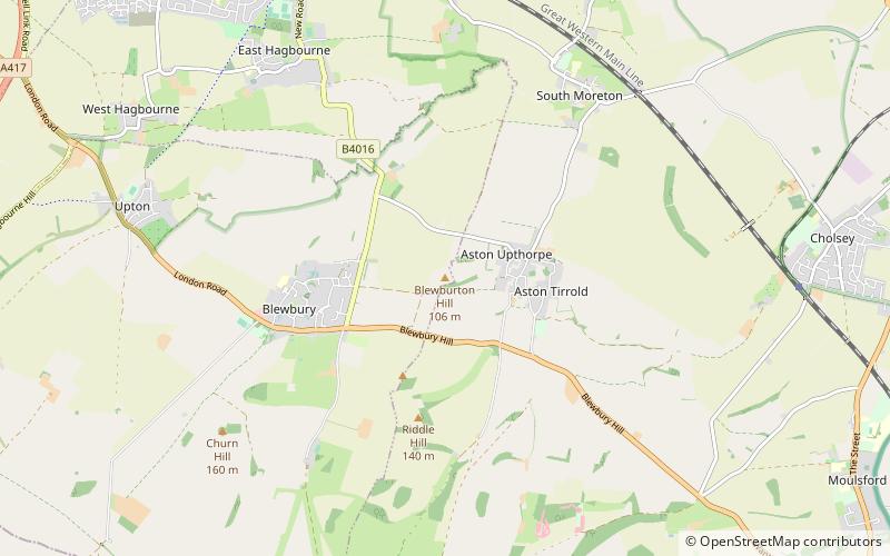
Map
Gallery
Facts and practical information
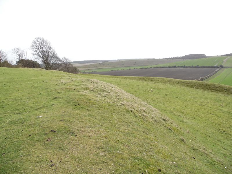
Blewburton Hill is the site of an Iron Age hillfort located in Oxfordshire, in the southeast of England. It was a univallate hillfort. The area is mostly farmland with some small areas of wooded copse to the south and the northeast. The hill fort may have been occupied from the 4th century BC to the 1st century BC, and replaced a small settlement surrounded by a stockade, which is estimated to have been built in the 5th or 6th century BC. ()
Coordinates: 51°34'17"N, 1°12'48"W
Location
England
ContactAdd
Social media
Add
Day trips
Blewburton Hill – popular in the area (distance from the attraction)
Nearby attractions include: Didcot Railway Centre, Goring & Streatley Golf Club, Wittenham Clumps, Wallingford Museum.


