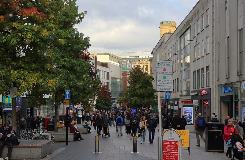
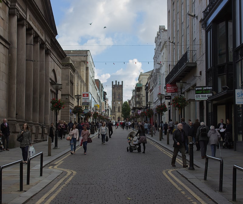
RopeWalks, Liverpool
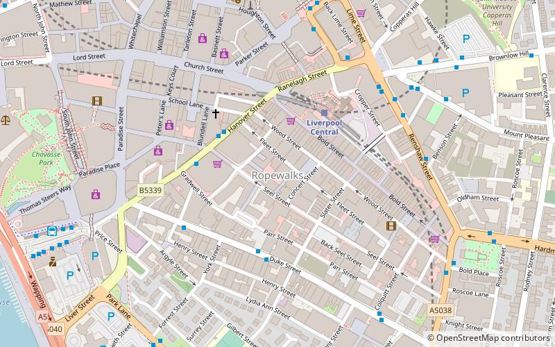
Map
Facts and practical information
RopeWalks is a name given to a vicinity of Liverpool city centre that runs from Lydia Ann Street to Renshaw Street widthways, and from Roscoe Street to Hanover Street lengthwise. ()
Coordinates: 53°24'12"N, 2°58'52"W
Address
RiversideLiverpool
ContactAdd
Social media
Add
Getting there by public transportation
Public transportation stops near this location
- Bus
- Train
 Bus
Bus
- Calculate routeLiverpool Central 3 min walk
- Calculate routeLiverpool Lime Street 9 min walk
- Calculate routeLiverpool James Street 13 min walk
- Calculate routeMoorfields 13 min walk
- Calculate routeParadise St Interchange 8 min walk
- Calculate routeLiverpool One 8 min walk
- Calculate routeQueen Square Bus Station 8 min walk
Day trips


Frequently Asked Questions (FAQ)
Which popular attractions are close to RopeWalks?
Nearby attractions include Bold Street, Liverpool (2 min walk), The Lyceum, Liverpool (3 min walk), Epstein Theatre, Liverpool (3 min walk), The Zanzibar Club, Liverpool (3 min walk).
How to get to RopeWalks by public transport?
The nearest stations to RopeWalks:
Train
Bus
Train
- Liverpool Central (3 min walk)
- Liverpool Lime Street (9 min walk)
Bus
- Paradise St Interchange • Lines: 500 (8 min walk)
- Liverpool One (8 min walk)