Old Castle Bridge, Warwick
Map
Map

Facts and practical information
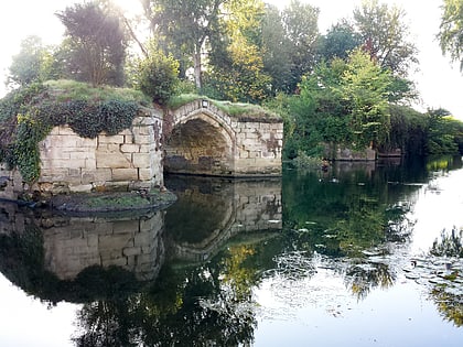
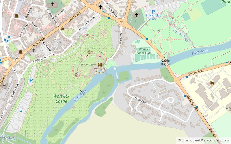
The Old Castle Bridge in Warwick, England is a ruined medieval bridge. The multi-arch stone bridge was built across the River Avon a short distance south-east of the centre of Warwick town and immediately upstream of the Warwick Castle weir. ()
Coordinates: 52°16'45"N, 1°34'60"W
Address
Warwick
ContactAdd
Social media
Add
Day trips
Old Castle Bridge – popular in the area (distance from the attraction)
Nearby attractions include: Warwick Castle, Warwick Racecourse, Collegiate Church of St Mary, The Mill Garden.
Frequently Asked Questions (FAQ)
Which popular attractions are close to Old Castle Bridge?
Nearby attractions include The Mill Garden, Warwick (1 min walk), Warwick Castle, Warwick (2 min walk), Collegiate Church of St Mary, Warwick (8 min walk), Royal Regiment of Fusiliers Museum, Warwick (8 min walk).
How to get to Old Castle Bridge by public transport?
The nearest stations to Old Castle Bridge:
Bus
Train
Bus
- Warwick Bus Station (9 min walk)
- The Ridgeway • Lines: 1 (28 min walk)
Train
- Warwick (14 min walk)
