Inch, Edinburgh
Map

Gallery

Facts and practical information
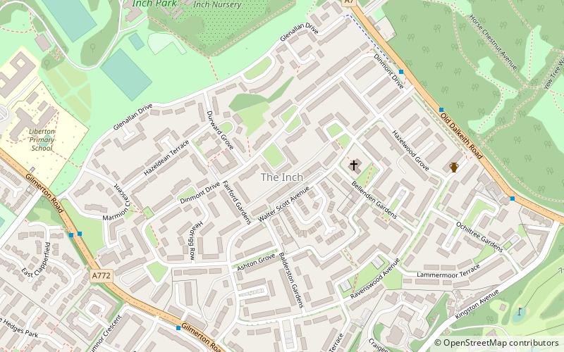
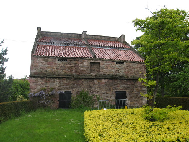
The Inch is a district of Edinburgh, Scotland, located to the south of Inch Park in the south of the city. It is located 2 miles south south-east of central Edinburgh. It incorporates the Inch housing development, Inch Park and the category A listed Inch House, a former country house now used as a community centre. The associated Inch Doocot or dovecot, also a category A listed building, is situated close by, west of Gilmerton Road. ()
Coordinates: 55°55'20"N, 3°9'16"W
Address
LibertonEdinburgh
ContactAdd
Social media
Add
Day trips
Inch – popular in the area (distance from the attraction)
Nearby attractions include: Royal Commonwealth Pool, Craigmillar Castle, Reid Memorial Church, Braid Hills Golf Centre.
Frequently Asked Questions (FAQ)
Which popular attractions are close to Inch?
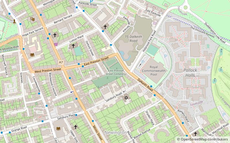
Nearby attractions include Craigmillar Castle, Edinburgh (15 min walk), Liberton, Edinburgh (18 min walk), Newington Cemetery, Edinburgh (20 min walk), Kings Buildings House, Edinburgh (20 min walk).
How to get to Inch by public transport?
The nearest stations to Inch:
Bus
Bus
- Walter Scott Avenue • Lines: 49, 51 (5 min walk)
- Ivanhoe Crescent • Lines: 29, 3 (6 min walk)


