East Highland Way, Fort William
Map
Gallery
Facts and practical information
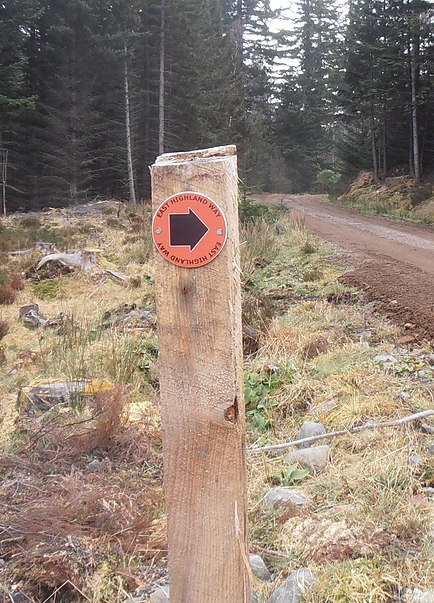
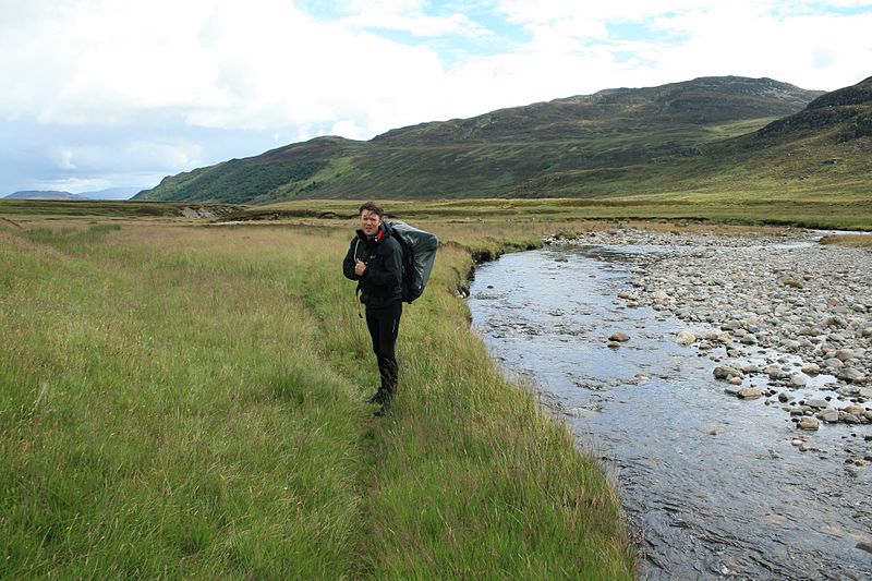
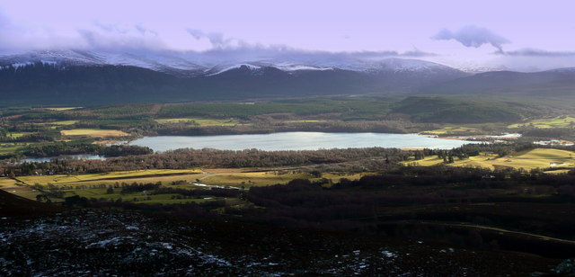
The East Highland Way is a long distance walking route in Scotland that connects Fort William with the ski and mountain resort of Aviemore . The route was described by Kevin Langan in 2007. The name is derived from the fact that the route terminates in Aviemore at the eastern edge of Highland region. The EHW route takes in a varied and wild landscape through deep forest plantations, passing many highland lochs and negotiating unspoilt marshlands. The route also explores the ancient Caledonian forests of Inshriach. The walk is 82 miles long. ()
Length: 82.02 miMaximum elevation: 1280 ftSeason: All yearCoordinates: 56°48'59"N, 5°6'50"W
Day trips
East Highland Way – popular in the area (distance from the attraction)
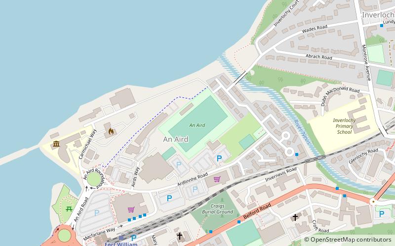
Nearby attractions include: Inverlochy Castle, West Highland Museum, An Aird, Claggan Park.
Frequently Asked Questions (FAQ)
Which popular attractions are close to East Highland Way?
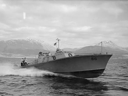
Nearby attractions include HMS St Christopher, Fort William (3 min walk), West Highland Museum, Fort William (4 min walk).
How to get to East Highland Way by public transport?
The nearest stations to East Highland Way:
Bus
Train
Bus
- Belford Hospital • Lines: 915 (11 min walk)
- Fort William Bus Station 1/2 • Lines: 919 (12 min walk)
Train
- Fort William (12 min walk)


