HMS St Christopher, Fort William
Map

Map

Facts and practical information
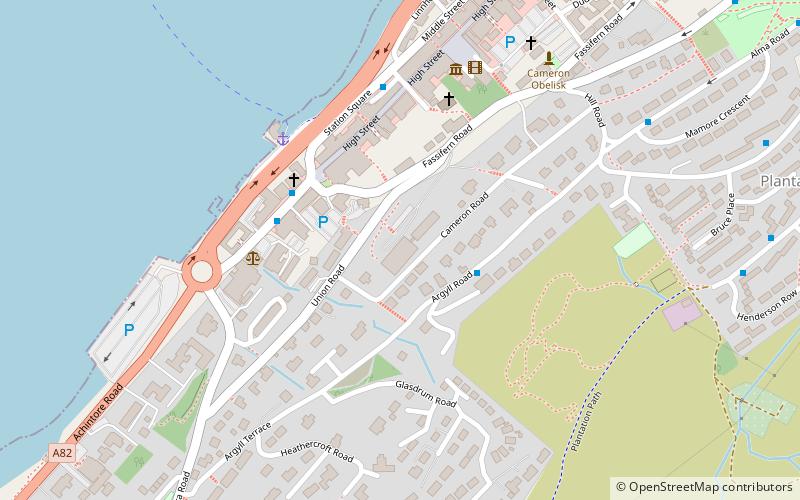
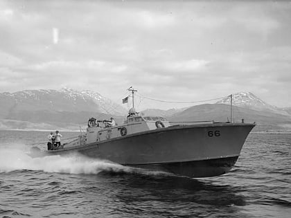
HMS St Christopher was a Coastal Forces Training Base of the Royal Navy operational during the Second World War and located in and around Fort William, Scotland. ()
Coordinates: 56°48'56"N, 5°6'44"W
Address
Fort William
ContactAdd
Social media
Add
Day trips
HMS St Christopher – popular in the area (distance from the attraction)
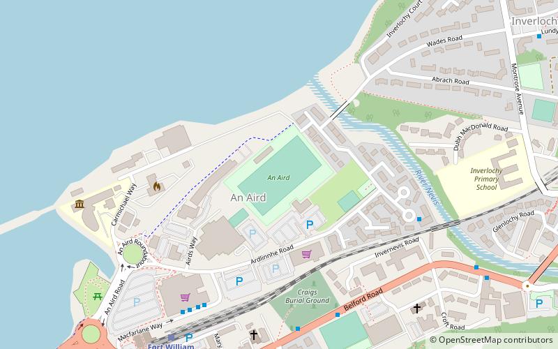
Nearby attractions include: East Highland Way, Inverlochy Castle, West Highland Museum, An Aird.
Frequently Asked Questions (FAQ)
How to get to HMS St Christopher by public transport?
The nearest stations to HMS St Christopher:
Bus
Train
Bus
- Belford Hospital • Lines: 915 (11 min walk)
- Fort William Bus Station 1/2 • Lines: 919 (12 min walk)
Train
- Fort William (12 min walk)


