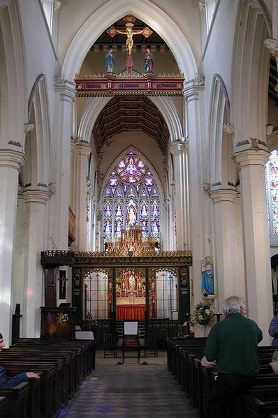
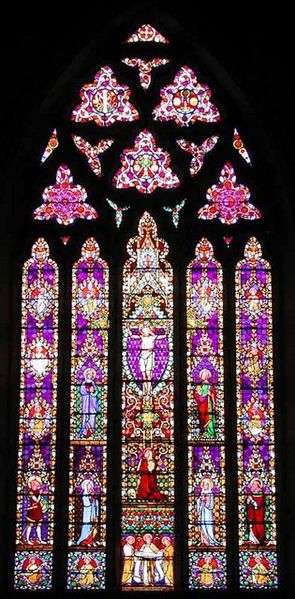
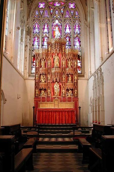
St Saviour Church, Leeds
Map
Gallery
Facts and practical information
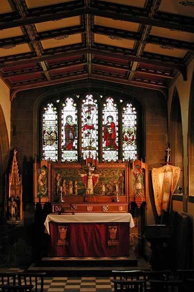
St Saviour Church in Richmond Hill, Leeds, West Yorkshire, England is an active Anglican parish church in the archdeaconry of Leeds and the Diocese of Leeds. ()
Completed: 1845 (181 years ago)Architectural style: Gothic revivalCoordinates: 53°47'30"N, 1°31'34"W
Address
Richmond HillLeeds
ContactAdd
Social media
Add
Day trips
St Saviour Church – popular in the area (distance from the attraction)
Nearby attractions include: Briggate, Leeds Corn Exchange, Leeds Kirkgate Market, The Tetley.
Frequently Asked Questions (FAQ)
Which popular attractions are close to St Saviour Church?
Nearby attractions include Mount St Mary's Church, Leeds (4 min walk), Armouries Square, Leeds (7 min walk), Royal Armouries Museum, Leeds (7 min walk), Royal Armouries, Leeds (7 min walk).
How to get to St Saviour Church by public transport?
The nearest stations to St Saviour Church:
Bus
Ferry
Train
Bus
- East Street Zion Street • Lines: 14, 29 (4 min walk)
- Clarence Dock • Lines: 29 (6 min walk)
Ferry
- Leeds Water Taxi Dock • Lines: Leeds Dock Water Taxi (23 min walk)
Train
- Leeds (24 min walk)


