Castle Hill, Winchester
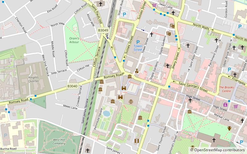
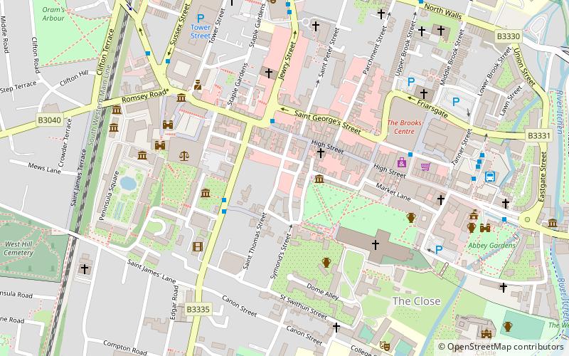
Map

Map

Facts and practical information
Castle Hill is a series of buildings used as council offices in Winchester, Hampshire. There are two main structures both of which are Grade II listed buildings: the Castle Hill Offices on the east of Castle Avenue and the Castle Avenue Offices on the west of Castle Avenue. They take their name from Winchester Castle, which is located at the south end of Castle Avenue. ()
Built: 1833 (193 years ago)Coordinates: 51°3'49"N, 1°19'10"W
Address
Winchester
ContactAdd
Social media
Add
Day trips
Castle Hill – popular in the area (distance from the attraction)
Nearby attractions include: Winchester Cathedral, Winchester Castle, Royal Green Jackets Museum, Clarendon Way.
Frequently Asked Questions (FAQ)
Which popular attractions are close to Castle Hill?
Nearby attractions include Westgate, Winchester (1 min walk), Winchester Castle, Winchester (1 min walk), Royal Green Jackets Museum, Winchester (2 min walk), The Gurkha Museum, Winchester (3 min walk).
How to get to Castle Hill by public transport?
The nearest stations to Castle Hill:
Bus
Train
Bus
- Jewry Street • Lines: 1 (4 min walk)
- St. Thomas Church • Lines: 1 (5 min walk)
Train
- Winchester (7 min walk)


