Caer Drewyn, Corwen

Gallery (1)
Map
Map
Facts and practical information
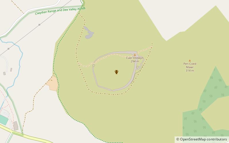
Caer Drewyn is an early Iron Age hillfort to the north of the town of Corwen, Denbighshire. It has a large stone rampart with entrances on the west and north sides; there is a guard chamber within the north-east entrance, and it has a deep defensive ditch. ()
Coordinates: 52°59'21"N, 3°21'38"W
Address
Corwen
ContactAdd
Social media
Add
Day trips


