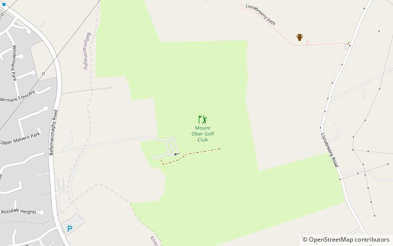
Mount Ober Golf Club, Belfast

Gallery (1)
Map
Map
Facts and practical information
Mount Ober Golf Club is a place located in Belfast (Northern Ireland province) and belongs to the category of golf.
It is situated at an altitude of 482 feet, and its geographical coordinates are 54°33'10"N latitude and 5°53'0"W longitude.
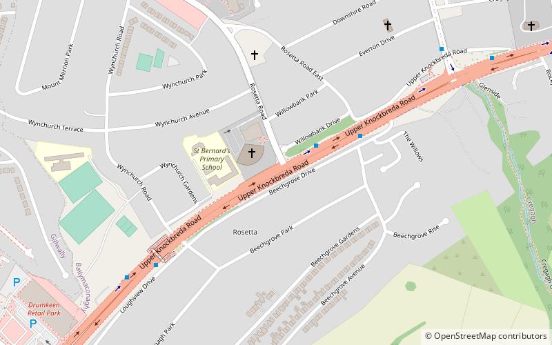
Planning a visit to this place, one can easily and conveniently get there by public transportation. Mount Ober Golf Club is a short distance from the following public transport stations: Laurelgrove (bus, 8 min walk).
Among other places and attractions worth visiting in the area are: Roselawn Cemetery (cemetery, 29 min walk), A55 road (bridge, 31 min walk), Forestside Shopping Centre (shopping, 34 min walk).
Coordinates: 54°33'10"N, 5°53'0"W
Address
Belfast
ContactAdd
Social media
Add
Getting there by public transportation
Public transportation stops near this location
- Bus
 Bus
Bus
- Calculate routeLaurelgrove 8 min walk
- Calculate routeFour Winds 12 min walk
- Calculate routeGlenholm 19 min walk
- Calculate routeColby Park 22 min walk
Day trips


Frequently Asked Questions (FAQ)
How to get to Mount Ober Golf Club by public transport?
The nearest stations to Mount Ober Golf Club:
Bus
Bus
- Laurelgrove • Lines: 7B, 7D (8 min walk)
- Four Winds • Lines: 7A, 7C, 7B, 7D (12 min walk)