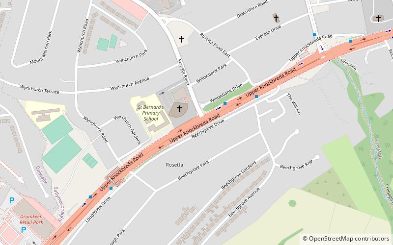
A55 road, Belfast
Map
Facts and practical information
The A55 road forms Belfast's outer-ring road. ()
Coordinates: 54°34'4"N, 5°53'56"W
Address
WynchurchBelfast
ContactAdd
Social media
Add
Getting there by public transportation
Public transportation stops near this location
- Bus
 Bus
Bus
- Calculate routeCregagh Park 7 min walk
- Calculate routeForestside - Upper Galwally 12 min walk
- Calculate routeHampton Park 15 min walk
- Calculate routeForster Green 15 min walk
Day trips


Frequently Asked Questions (FAQ)
How to get to A55 road by public transport?
The nearest stations to A55 road:
Bus
Bus
- Cregagh Park • Lines: 6A (7 min walk)
- Forestside - Upper Galwally • Lines: 7A, 7C, 7B, 7D (12 min walk)