Soper Hall, Old Coulsdon
Map

Map

Facts and practical information
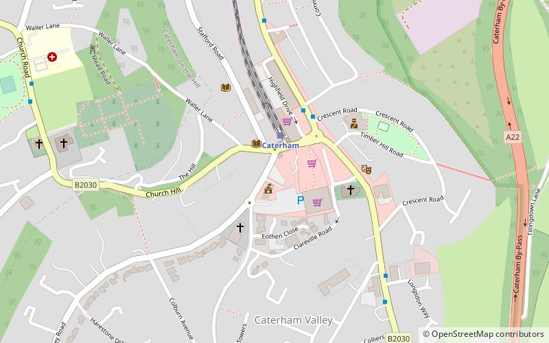
Soper Hall (address: Soper Hall Harestone Valley Road) is a place located in Old Coulsdon (England kingdom) and belongs to the category of city hall.
It is situated at an altitude of 436 feet, and its geographical coordinates are 51°16'53"N latitude and 0°4'43"W longitude.
Among other places and attractions worth visiting in the area are: Caterham (locality, 11 min walk), Sacred Heart Church (church, 14 min walk), Surrey National Golf Club (outdoor activities, 35 min walk).
Coordinates: 51°16'53"N, 0°4'43"W
Address
Soper Hall Harestone Valley RoadOld Coulsdon CR3 6HY
Contact
+44 1883 340678
Social media
Add
Day trips
Soper Hall – popular in the area (distance from the attraction)
Nearby attractions include: Surrey National Golf Club, Bay Pond, Titsey Place, All Saints Church.


