St Silas Church, Sheffield
Map

Map

Facts and practical information
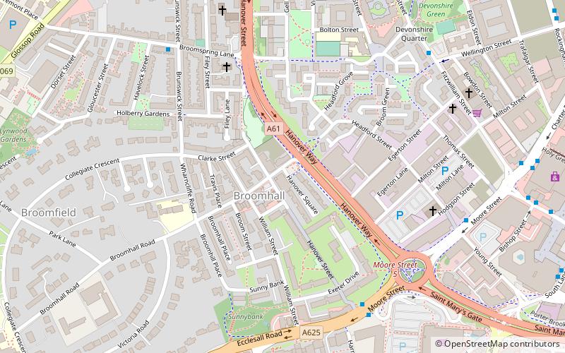
St Silas Church is a former church built in 1867 in Broomhall, Sheffield, England. It was under the administration of the Diocese of Sheffield from its creation in 1914 until the closure of the church in 2000. ()
Architectural style: Gothic revivalCoordinates: 53°22'33"N, 1°28'59"W
Address
Central SheffieldSheffield
ContactAdd
Social media
Add
Day trips
St Silas Church – popular in the area (distance from the attraction)
Nearby attractions include: Corporation, University of Sheffield Students' Union, Bramall Lane, Millennium Gallery.
Frequently Asked Questions (FAQ)
Which popular attractions are close to St Silas Church?
Nearby attractions include Sheffield Inner Ring Road, Sheffield (4 min walk), Ecclesall Road, Sheffield (5 min walk), Velocity Tower, Sheffield (6 min walk), Devonshire Quarter, Sheffield (7 min walk).
How to get to St Silas Church by public transport?
The nearest stations to St Silas Church:
Bus
Tram
Train
Bus
- Moore Street/Hanover Way • Lines: 272, 65, 81, 82, 83, 83a, 88 (5 min walk)
- Moore Street/Fitzwilliam Street • Lines: 271, 272, 65, 81, 82 (7 min walk)
Tram
- University of Sheffield • Lines: Blue, Yell (9 min walk)
- West Street • Lines: Blue, Yell (11 min walk)
Train
- Sheffield (23 min walk)


