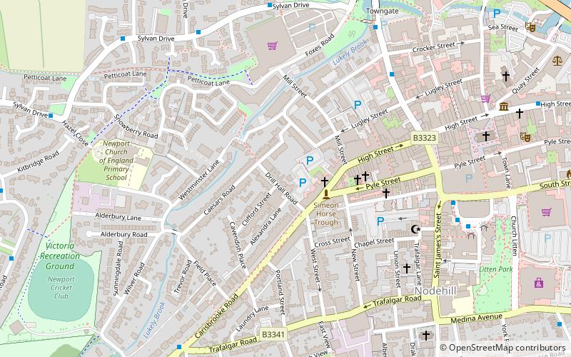
Drill Hall Road Army Reserve Centre, Newport
Map

Map

Facts and practical information
The Drill Hall Road Army Reserve Centre is a military installation in Newport, Isle of Wight. ()
Built: 1860 (166 years ago)Coordinates: 50°41'56"N, 1°17'59"W
Address
Newport
ContactAdd
Social media
Add
Day trips
Drill Hall Road Army Reserve Centre – popular in the area (distance from the attraction)
Nearby attractions include: Carisbrooke Castle, Church of St Nicholas in Castro, Tennyson Trail, Seaclose Park.
Frequently Asked Questions (FAQ)
Which popular attractions are close to Drill Hall Road Army Reserve Centre?
Nearby attractions include Sts Thomas Minster, Newport (3 min walk), St Thomas of Canterbury Church, Newport (7 min walk), Church of St John the Baptist, Newport (8 min walk), Lord Louis Library, Newport (8 min walk).
How to get to Drill Hall Road Army Reserve Centre by public transport?
The nearest stations to Drill Hall Road Army Reserve Centre:
Bus
Bus
- Drill Hall Road • Lines: 12, 38, 6, 7 via Shalfleet, 7 via Wellow (2 min walk)
- Newport, Bus Station • Lines: 1, 12, 2, 3, 39, 5, 6, 7 via Shalfleet, 7 via Wellow, 8, 9, Former Newport>Newchurch>Shankli, Former Shanklin>Newchurch>Newpor (7 min walk)


