Poyser Street drill hall, Wrexham
Map

Map

Facts and practical information
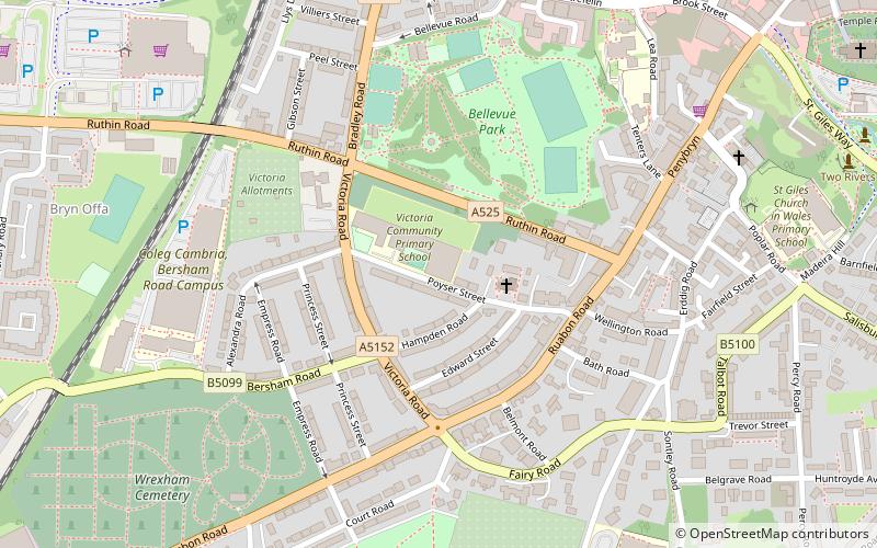
The Poyser Street drill hall is a former military installation in Wrexham, Wales. ()
Built: 1902 (124 years ago)Coordinates: 53°2'30"N, 3°0'3"W
Address
Wrexham
ContactAdd
Social media
Add
Day trips
Poyser Street drill hall – popular in the area (distance from the attraction)
Nearby attractions include: Erddig, Eagles Meadow, St Giles' Church, Bersham Ironworks.
Frequently Asked Questions (FAQ)
Which popular attractions are close to Poyser Street drill hall?
Nearby attractions include Parks and open spaces in Wrexham, Wrexham (4 min walk), Bryn Offa, Wrexham (8 min walk), Grove Park Theatre, Wrexham (10 min walk), St Giles' Church, Wrexham (10 min walk).
How to get to Poyser Street drill hall by public transport?
The nearest stations to Poyser Street drill hall:
Train
Bus
Train
- Wrexham Central (9 min walk)
- Wrexham General (16 min walk)
Bus
- Wrexham Bus Station - Stand 1 • Lines: T3, Wrexham / Llangollen Express (13 min walk)
- Wrexham Bus Station (13 min walk)


