Blackfriars, London
Map
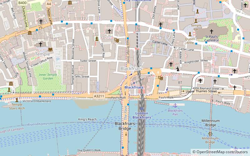
Map

Facts and practical information
Blackfriars is in central London, specifically the south-west corner of the City of London. ()
Address
City of London (Castle Baynard)London
ContactAdd
Social media
Add
Day trips
Blackfriars – popular in the area (distance from the attraction)
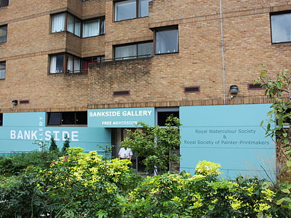
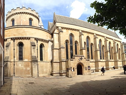
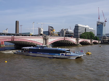
Nearby attractions include: Bankside Gallery, Temple Church, Blackfriars Bridge, Oxo Tower.
Frequently Asked Questions (FAQ)
Which popular attractions are close to Blackfriars?
Nearby attractions include Sion College, London (3 min walk), St Andrew-by-the-Wardrobe, London (4 min walk), Salisbury Square, London (4 min walk), Blackfriars Railway Bridge, London (4 min walk).
How to get to Blackfriars by public transport?
The nearest stations to Blackfriars:
Train
Bus
Ferry
Metro
Light rail
Train
- London Blackfriars (3 min walk)
- City Thameslink (7 min walk)
Bus
- City Thameslink Station / Ludgate Circus • Lines: 26, N26 (5 min walk)
- Ludgate Hill / Old Bailey • Lines: 26, N26 (5 min walk)
Ferry
- Blackfriars Pier • Lines: Rb6 (5 min walk)
- Bankside Pier • Lines: Green Tour, Rb1, Rb1X, Rb2 (10 min walk)
Metro
- St. Paul's • Lines: Central (9 min walk)
- Mansion House • Lines: Circle, District (11 min walk)
Light rail
- Bank Platform 10 • Lines: B-L, B-Wa (18 min walk)

 Tube
Tube