Limestone Link, Yorkshire Dales National Park
Map

Map

Facts and practical information
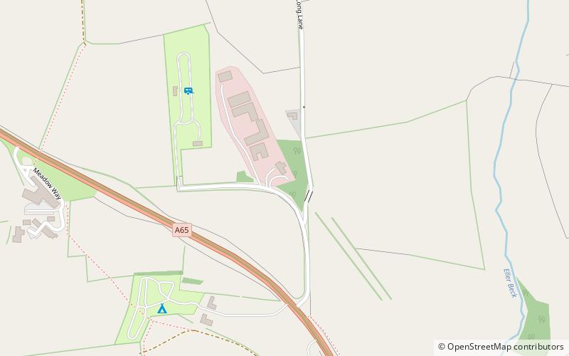
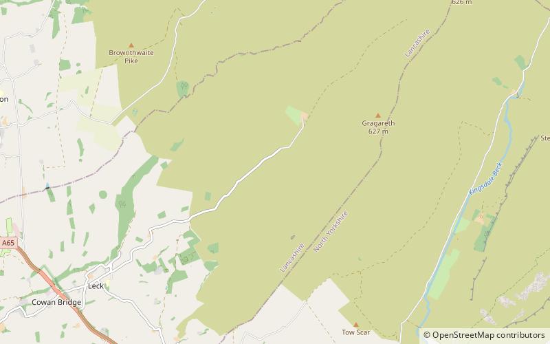
The Limestone Link is a waymarked footpath in South Lakeland, Cumbria, England, connecting Arnside and Kirkby Lonsdale, a distance of 13 miles. ()
Coordinates: 54°11'28"N, 2°34'10"W
Address
Yorkshire Dales National Park
ContactAdd
Social media
Add
Day trips
Limestone Link – popular in the area (distance from the attraction)
Nearby attractions include: St Mary's Church, St John, Lost Pot, St Bartholomew's Church.
Frequently Asked Questions (FAQ)
How to get to Limestone Link by public transport?
The nearest stations to Limestone Link:
Bus
Bus
- Post Office • Lines: 581 (18 min walk)
- Lunefield Drive • Lines: 551, 567, 581, 582, 81, 81A, 81B, 81G (32 min walk)


