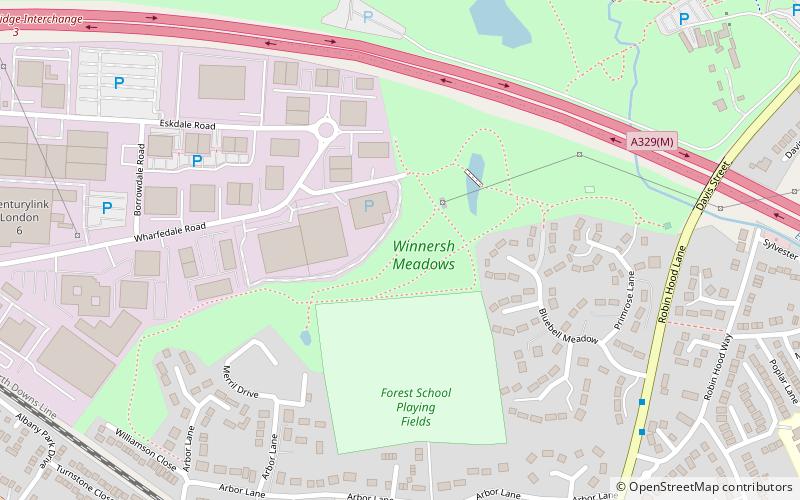
Winnersh Meadows

Gallery (1)
Map
Map
Facts and practical information
Winnersh Meadows is a 10 hectares public open space located along the northern boundary of Winnersh, Berkshire, just south of the A329. ()
Elevation: 141 ft a.s.l.Coordinates: 51°26'13"N, 0°52'45"W
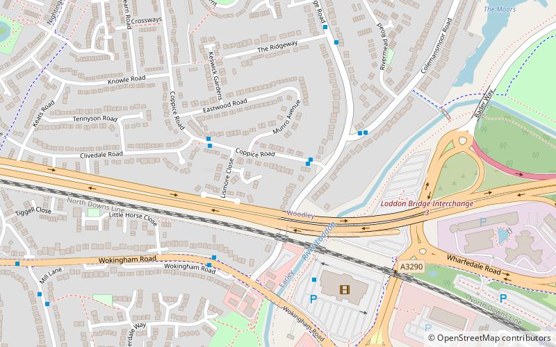
Location
England
ContactAdd
Social media
Add
Day trips