Hodnet Hall, Market Drayton
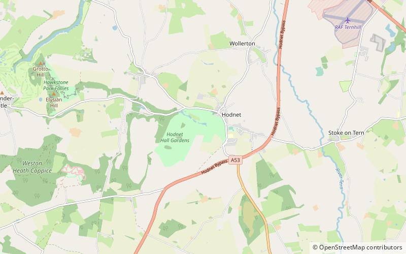
Map

Map

Facts and practical information
Hodnet Hall is a country house and estate in Hodnet, Shropshire, England. ()
Elevation: 318 ft a.s.l.Coordinates: 52°51'3"N, 2°34'52"W
Day trips
Hodnet Hall – popular in the area (distance from the attraction)
Nearby attractions include: Moreton Corbet Castle, St Luke's Church, Market Drayton Methodist Church, Shawbury.


