Harlow Study Centre, Harlow

Gallery (1)
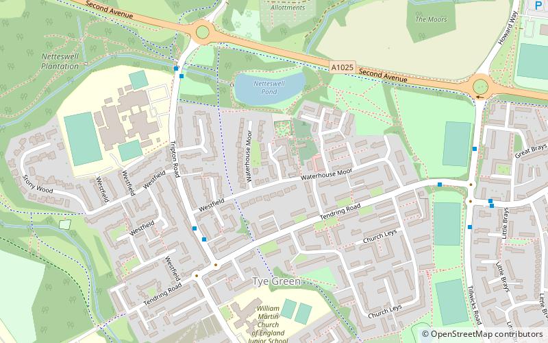
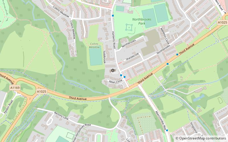
Map
Map
Facts and practical information
Harlow Study Centre (address: Netteswellbury Farm) is a place located in Harlow (England kingdom) and belongs to the category of sightseeing.
It is situated at an altitude of 223 feet, and its geographical coordinates are 51°45'48"N latitude and 0°6'28"E longitude.
Planning a visit to this place, one can easily and conveniently get there by public transportation. Harlow Study Centre is a short distance from the following public transport stations: Westfield (bus, 4 min walk).
Among other places and attractions worth visiting in the area are: The Square (music venue, 24 min walk), Harlow Jewish Community (synagogue, 26 min walk), Harlow Town Park (park, 27 min walk).
Coordinates: 51°45'48"N, 0°6'28"E
Getting there by public transportation
Public transportation stops near this location
- Bus
 Bus
Bus
- Calculate routeWestfield 4 min walk
- Calculate routeSt. Marks School 5 min walk
- Calculate routeChurch Leys 6 min walk
Day trips


Frequently Asked Questions (FAQ)
How to get to Harlow Study Centre by public transport?
The nearest stations to Harlow Study Centre:
Bus
Bus
- Westfield • Lines: 10, 4, 420, 420A (4 min walk)
- St. Marks School • Lines: 10, 4, 420, 420A (5 min walk)