St Andrew's Church, Oxford
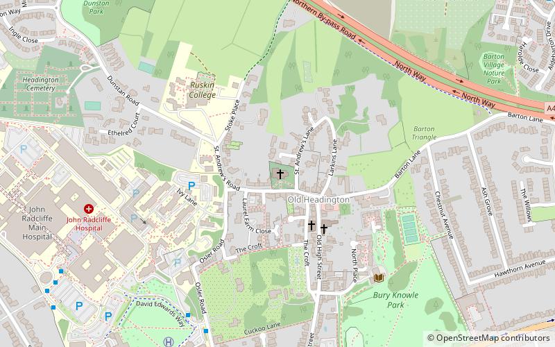
Map
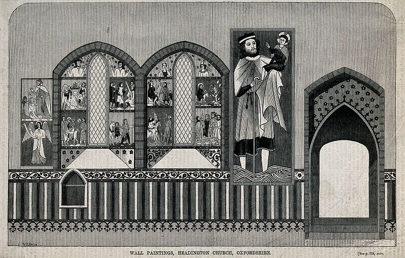
Gallery
Facts and practical information
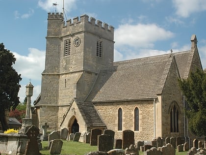
St Andrew's Church, Headington is a Church of England parish church in the village of Old Headington, Oxfordshire, England, now absorbed as part of the suburb of Headington in the city of Oxford. The church building is located in St Andrew's Road. It is a Grade II* listed building. ()
Coordinates: 51°45'53"N, 1°12'44"W
Day trips
St Andrew's Church – popular in the area (distance from the attraction)
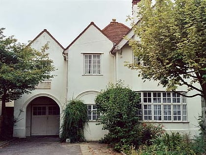
Nearby attractions include: O2 Academy Oxford, Ultimate Picture Palace, Oxford Spanish Civil War memorial, Sandfield Road.
Frequently Asked Questions (FAQ)
Which popular attractions are close to St Andrew's Church?
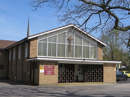
Nearby attractions include Headington, Oxford (7 min walk), Headington Shark, Oxford (11 min walk), Sandfield Road, Oxford (12 min walk), St Anthony of Padua, Oxford (15 min walk).
How to get to St Andrew's Church by public transport?
The nearest stations to St Andrew's Church:
Bus
Bus
- Hospital Link Road • Lines: 10 (6 min walk)
- Headington Shops • Lines: 10, Lgw, Lhr, Tube, U1 (9 min walk)
