Iffley Road rugby football ground, Oxford
Map
Map

Facts and practical information
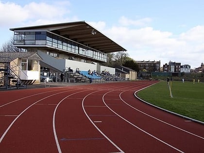
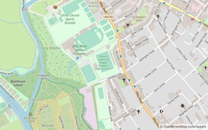
Iffley Road rugby football ground is a playing-field in Oxford, England. It is the home of Oxford University Rugby Football Club and between 2013 and 2016 was the home of semi-professional Oxford Rugby League. It is close to the Roger Bannister running track. ()
Capacity: 5500Coordinates: 51°44'41"N, 1°14'31"W
Address
St. Mary'sOxford
ContactAdd
Social media
Add
Day trips
Iffley Road rugby football ground – popular in the area (distance from the attraction)
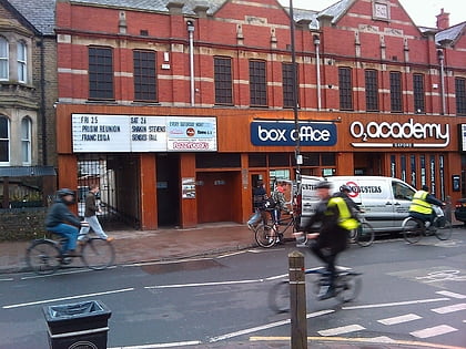
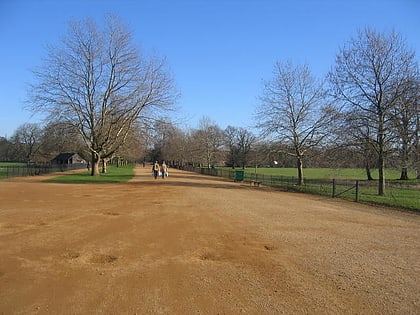
Nearby attractions include: O2 Academy Oxford, University of Oxford Botanic Garden, Broad Walk, Roger Bannister running track.
Frequently Asked Questions (FAQ)
Which popular attractions are close to Iffley Road rugby football ground?
Nearby attractions include St John the Evangelist Church, Oxford (5 min walk), Greyfriars, Oxford (5 min walk), St Hilda's College, Oxford (8 min walk), The Plain, Oxford (11 min walk).
How to get to Iffley Road rugby football ground by public transport?
The nearest stations to Iffley Road rugby football ground:
Bus
Bus
- James Street • Lines: 3A (4 min walk)
- Henley Street • Lines: 3A (4 min walk)

