Dead Man's Walk, Oxford
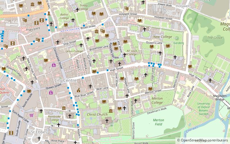
Map
Map

Facts and practical information
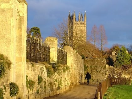
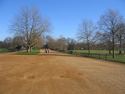
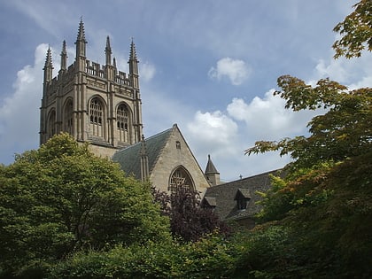
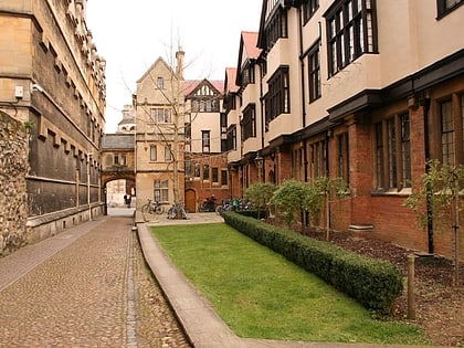
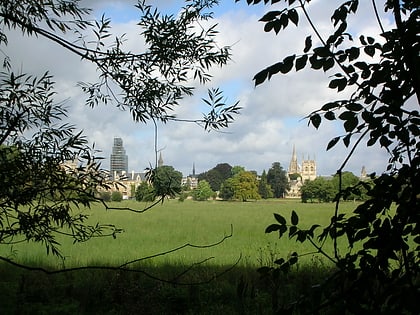
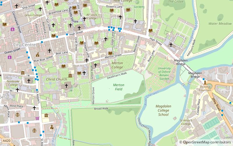
Dead Man's Walk is a footpath running east–west in central Oxford, England, situated immediately to the south of Merton College and just outside the old city wall, with Corpus Christi College at the western end. To the north, Grove Walk connects with Merton Street through a gateway. Immediately to the south is Merton Field with Merton Walk connecting to the wide tree-lined Broad Walk, which runs parallel with Dead Man's Walk. Beyond that is Christ Church Meadow. ()
Coordinates: 51°45'3"N, 1°15'4"W
Address
HolywellOxford
ContactAdd
Social media
Add
Day trips
Dead Man's Walk – popular in the area (distance from the attraction)
Nearby attractions include: High Street, University of Oxford Botanic Garden, Christ Church Cathedral, Broad Walk.
Frequently Asked Questions (FAQ)
Which popular attractions are close to Dead Man's Walk?
Nearby attractions include Merton College, Oxford (1 min walk), Merton Street, Oxford (2 min walk), Mob Quad, Oxford (2 min walk), Merton College Library, Oxford (2 min walk).
How to get to Dead Man's Walk by public transport?
The nearest stations to Dead Man's Walk:
Bus
Train
Bus
- Queens Lane • Lines: 10, 15, 280, 3A, 5A, Lgw, Lhr, Tube, U1, X3, X90 (4 min walk)
- Turl Street • Lines: 280, 3A, U1 (6 min walk)
Train
- Oxford (22 min walk)
