Graig Syfyrddin

Gallery (1)
Map
Map
Facts and practical information
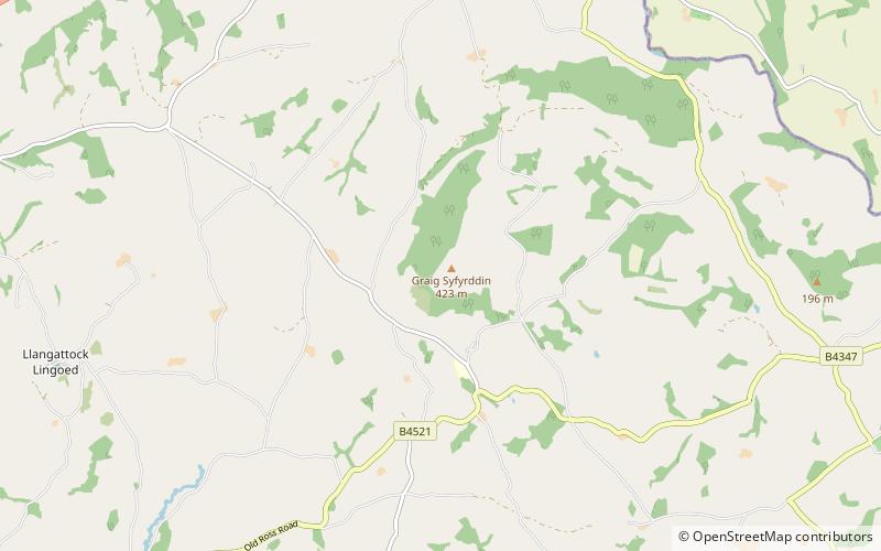
Graig Syfyrddin or just The Graig, is a 423m high hill near Grosmont in north-eastern Monmouthshire, Wales. The summit knoll is known as Edmund's Tump. The hill consists of an isolated mass of the micaceous sandstones of the Brownstones Formation, a unit of the Old Red Sandstone well known from the nearby Black Mountains, of which it can be considered an outlier in both the geographical and geological sense. ()
Elevation: 1388 ftProminence: 771 ftCoordinates: 51°53'3"N, 2°52'8"W
Location
Wales
ContactAdd
Social media
Add
Day trips


