St Michael's Church, Brecon Beacons
#29 among attractions in Brecon Beacons


Facts and practical information
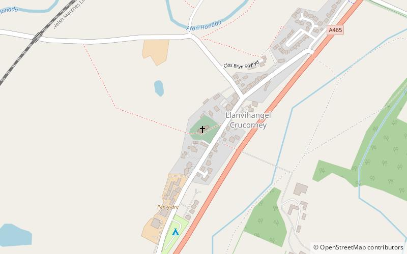
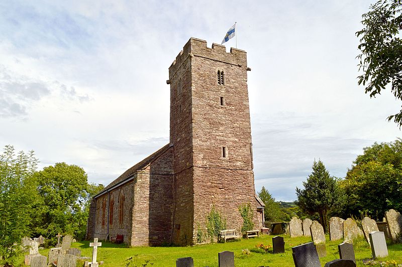
St Michael's Church stands in the centre of the village of Llanvihangel Crucorney, Monmouthshire, Wales. It was designated as a Grade II listed building in 1956 for its historic importance and surviving medieval features. ()
Brecon Beacons United Kingdom
St Michael's Church – popular in the area (distance from the attraction)
Nearby attractions include: Beacons Way, Church of St Martin, Ysgyryd Fawr, Sugar Loaf.
 Hiking, Hiking trail
Beacons Way, Brecon Beacons
67 min walk • The Beacons Way is a waymarked long distance footpath in the Brecon Beacons National Park, Wales. It is a linear route which runs for 99 miles east to west through the National Park, and passes many of the most important landmarks and mountain peaks in the mountain range.
 Church
Church of St Martin, Brecon Beacons
60 min walk • The Church of St Martin, Cwmyoy, Monmouthshire, Wales, was begun in the 12th century, although most of the current structure dates from the 13th century. The church is most notable for its extreme tilt, the result of a landslide.
 Natural attraction, Hiking trail, Park
Ysgyryd Fawr, Abergavenny
38 min walk • Ysgyryd Fawr is an easterly outlier of the Black Mountains in Wales, and forms the easternmost part of the Brecon Beacons National Park. The hill is often referred to locally as just The Skirrid. The smaller hill of Ysgyryd Fach or "Little Skirrid" lies about 4.5 km / 2.5 mi to the south.
 Nature, Natural attraction, Mountain
Sugar Loaf, Brecon Beacons
88 min walk • Sugar Loaf, sometimes called The Sugar Loaf, is a hill situated 2 miles north-west of Abergavenny in Monmouthshire, Wales and sits within the Brecon Beacons National Park.
 Church
Saint Cadoc
59 min walk • The Church of St Cadoc, is the parish church of Llangattock Lingoed, Monmouthshire, Wales and sits in the centre of the village. It is in the Perpendicular style and is a Grade I listed building as of 1 September 1956.
 Nature, Natural attraction, Hill
Hatterrall Hill, Brecon Beacons
85 min walk • Hatterrall Hill is a rounded peak in the Black Mountains which sits on the Wales-England border, partly in Monmouthshire, Wales and partly in Herefordshire, England. Its summit at 531m is the high point of a peaty plateau which falls away steeply on all sides. Broad ridges run to the north, the southeast and southwest.
 Shopping, City wall
Abergavenny town walls, Abergavenny
109 min walk • Abergavenny's town walls are a sequence of defensive walls built around the town of Abergavenny in Monmouthshire, Wales.
 Church
Saint David
127 min walk • The Church of St David, Llanddewi Rhydderch, Monmouthshire, Wales is a parish church with its origins in the 12th century. The tower base may date from this time. The fabric of the current building is 14th–15th century in date, with a Victorian restoration by John Pollard Seddon in 1862–1863. It remains an active parish church.
 Church
Church of St Issui, Brecon Beacons
79 min walk • The Church of St Issui, Partrishow, Powys, Wales, is a parish church dating from 1060. The existing building was mainly constructed in the 14th and 15th centuries and was sensitively restored in 1908–1909.
 Church
Church of St Teilo, Llanfoist
71 min walk • The Church of St Teilo is the parish church of Llantilio Pertholey, Monmouthshire, Wales. "An unusually large and varied church", it is a Grade I listed building as of 1 September...
 Nature, Natural attraction, Mountain
Graig Syfyrddin
124 min walk • Graig Syfyrddin or just The Graig, is a 423m high hill near Grosmont in north-eastern Monmouthshire, Wales. The summit knoll is known as Edmund's Tump.
