King John's Hill, South Downs National Park
Map

Gallery

Facts and practical information
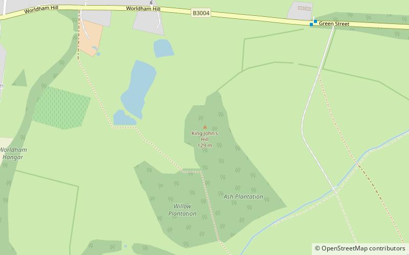
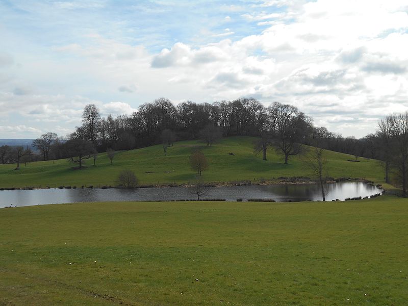
King John's Hill is the site of an Iron Age hillfort located in Hampshire, in southeast England. The hill is situated in the parish of Worldham, in East Hampshire District. It is a Scheduled Ancient Monument with a list entry identification number of 1020314, and a Monument Number of 243207. ()
Coordinates: 51°8'1"N, 0°55'16"W
Address
South Downs National Park
ContactAdd
Social media
Add
Day trips
King John's Hill – popular in the area (distance from the attraction)
Nearby attractions include: Jane Austen's House Museum, Church of St Lawrence, Alton Town Hall, Hangers Way.
Frequently Asked Questions (FAQ)
How to get to King John's Hill by public transport?
The nearest stations to King John's Hill:
Bus
Bus
- Tilling Cottages • Lines: 13, 23 (7 min walk)
- Three Horseshoes • Lines: 13, 23 (14 min walk)


