1–5 Pillory Street, Nantwich
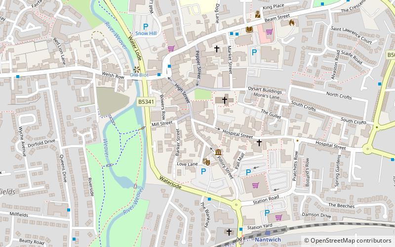
Map

Gallery

Facts and practical information
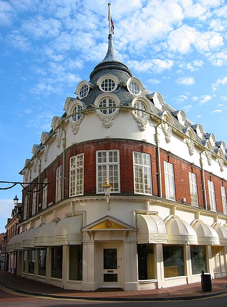
1–5 Pillory Street is a large curved corner block in Nantwich, Cheshire, England, in the French Baroque style of the late 17th century, which is listed at grade II. It is located on the corner of Hospital Street and Pillory Street, and also includes 2 Hospital Street. Formerly known as Chesters' Stores, it was built in 1911 for the grocer's, P. H. Chesters, to a design by local architect, Ernest H. Edleston. The building has subsequently been used for a variety of retail and wholesale purposes, and it is currently a furniture store. ()
Coordinates: 53°3'59"N, 2°31'18"W
Address
Nantwich
ContactAdd
Social media
Add
Day trips
1–5 Pillory Street – popular in the area (distance from the attraction)
Nearby attractions include: 46 High Street, Nantwich Museum, St Mary's Church, Dorfold Hall.
Frequently Asked Questions (FAQ)
Which popular attractions are close to 1–5 Pillory Street?
Nearby attractions include 9 Mill Street, Nantwich (1 min walk), Nantwich Museum, Nantwich (2 min walk), St Mary's Church, Nantwich (2 min walk), 1–3 Churchyard Side, Nantwich (2 min walk).
How to get to 1–5 Pillory Street by public transport?
The nearest stations to 1–5 Pillory Street:
Train
Train
- Nantwich (6 min walk)


