Mochrum Loch

Gallery (1)
Map
Map
Facts and practical information
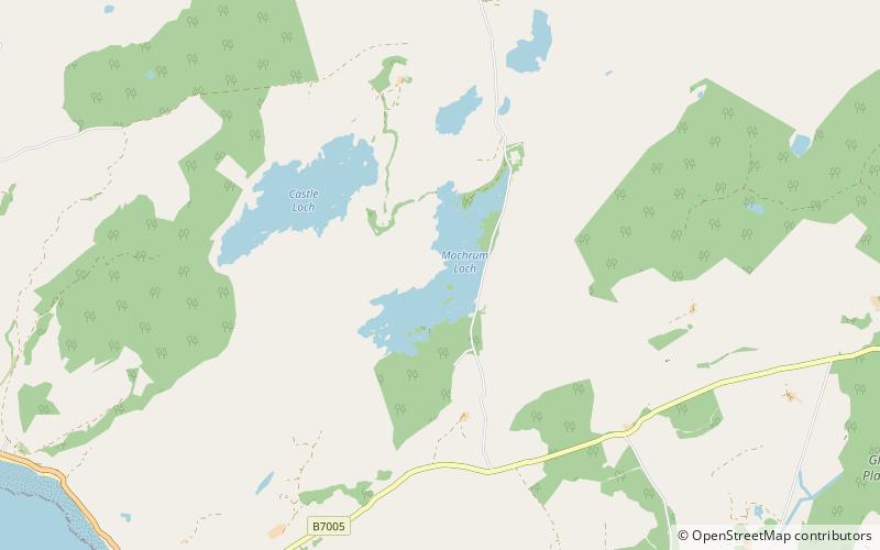
Mochrum Loch is a large, irregular shaped, shallow, freshwater loch in Dumfries and Galloway, in the Southern Uplands of south-west Scotland. It lies approximately 8 mi west of the town of Wigtown. The loch has several rocky islets. ()
Alternative names: Length: 7920 ftWidth: 1742 ftMaximum depth: 13 ftElevation: 256 ft a.s.l.Coordinates: 54°50'33"N, 4°38'57"W
Location
Scotland
ContactAdd
Social media
Add
Day trips


