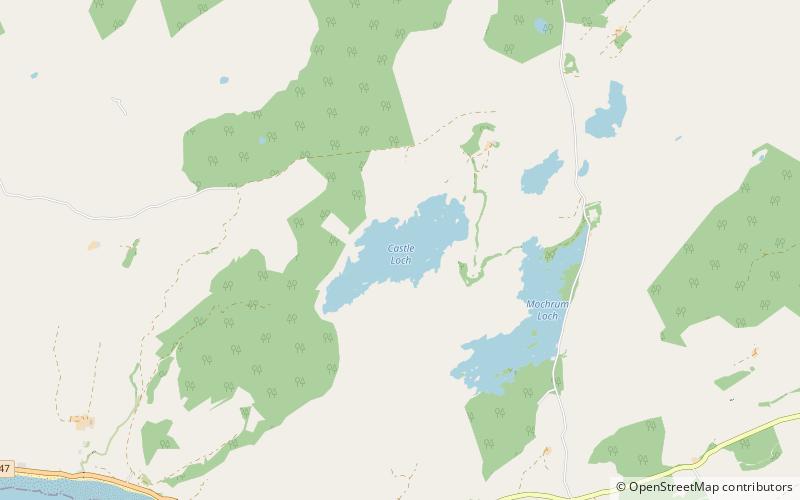
Castle Loch
Map

Map

Facts and practical information
Castle Loch is a shallow eutrophic loch covering an area of around 100 hectares in the town of Lochmaben in Dumfries and Galloway, Scotland. It lies to the west of Mochrum Loch and has 2 islets. The ruined Lochmaben Castle lies at the southern end of the loch. ()
Alternative names: Length: 6600 ftWidth: 2640 ftMaximum depth: 11 ftElevation: 262 ft a.s.l.Coordinates: 54°50'58"N, 4°40'14"W
Location
Scotland
ContactAdd
Social media
Add
Day trips
Castle Loch – popular in the area (distance from the attraction)
Nearby attractions include: Mochrum Loch, Doon of May.


