Acomb, York
Map

Map

Facts and practical information
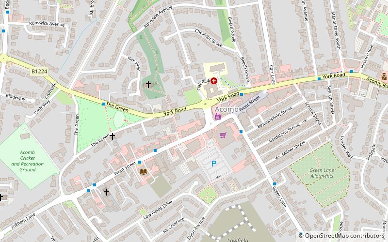
Acomb, is a village and suburb within the City of York Unitary Authority, to the western side of York, England. It covers the site of the original village of the same name, which is mentioned in the Domesday Book of 1086. It is bordered by the suburbs of Holgate, to the east, Clifton, to the north and Woodthorpe to the south. The boundary to the west abuts the fields close to the A1237, York Outer Ring Road. ()
Coordinates: 53°57'18"N, 1°7'37"W
Address
WestfieldYork
ContactAdd
Social media
Add
Day trips
Acomb – popular in the area (distance from the attraction)
Nearby attractions include: National Railway Museum, Goddards, York Racecourse, Holgate Windmill.
Frequently Asked Questions (FAQ)
Which popular attractions are close to Acomb?
Nearby attractions include Cold War Bunker, York (12 min walk), Holgate Windmill, York (17 min walk).
How to get to Acomb by public transport?
The nearest stations to Acomb:
Bus
Bus
- Acomb, opp Wheatlands Grove • Lines: 10 (24 min walk)
- Beckfield Lane, Low Poppleton Lane, opp • Lines: 10 (26 min walk)


