Knavesmire, York
Map

Map

Facts and practical information
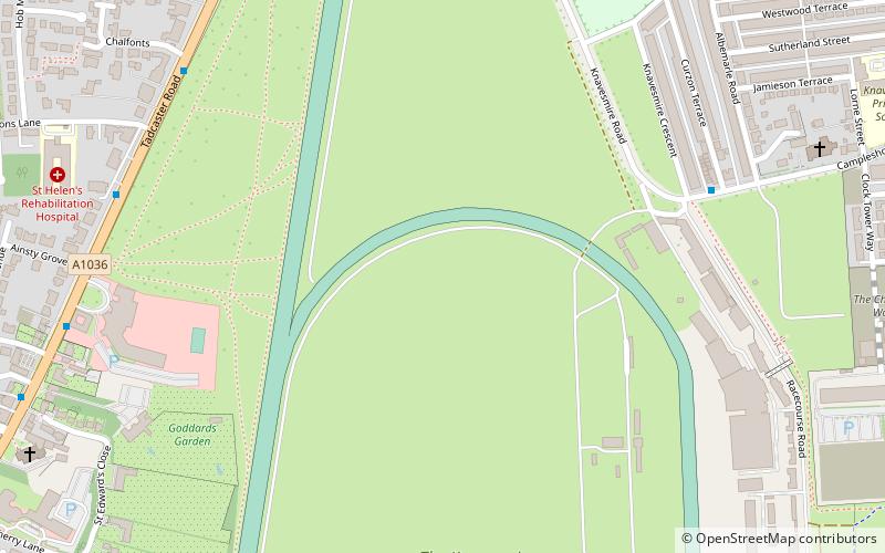
The Knavesmire is one of a number of large, marshy undeveloped areas within the city of York in North Yorkshire, England, which are collectively known as Strays. Knavesmire, together with Hob Moor, comprises Micklegate Stray. ()
Elevation: 26 ft a.s.l.Coordinates: 53°56'31"N, 1°5'53"W
Address
MicklegateYork
ContactAdd
Social media
Add
Day trips
Knavesmire – popular in the area (distance from the attraction)
Nearby attractions include: Goddards, York Racecourse, Rowntree Park, Bar Convent.
Frequently Asked Questions (FAQ)
Which popular attractions are close to Knavesmire?
Nearby attractions include York Racecourse, York (7 min walk), Goddards, York (7 min walk), Dringhouses Library, York (12 min walk), Bishopthorpe Palace, York (17 min walk).
How to get to Knavesmire by public transport?
The nearest stations to Knavesmire:
Bus
Train
Bus
- Nunnery Lane Car Park • Lines: 66 (25 min walk)
- Rail Station • Lines: 426, 436, 66 (30 min walk)
Train
- York (28 min walk)


