St Michael's Church, Corby
Map

Map

Facts and practical information
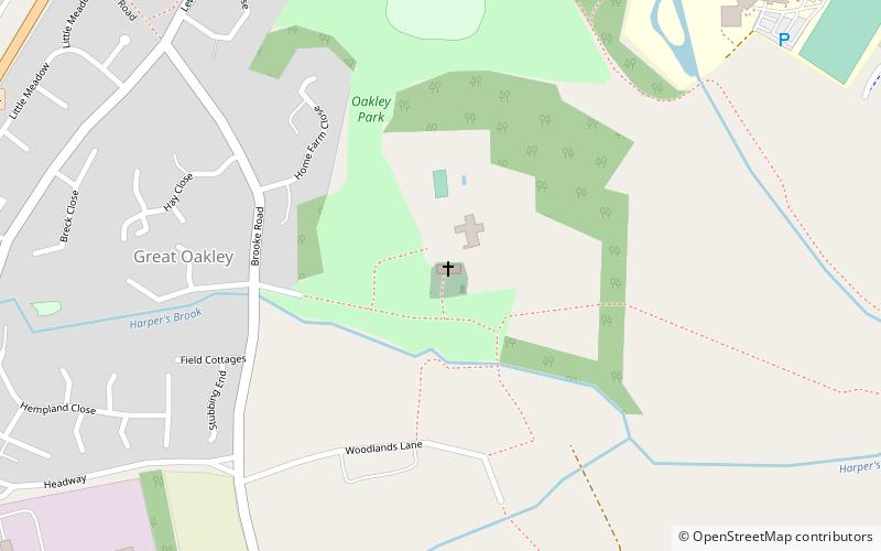
St Michael's Church (address: Great Oakley) is a place located in Corby (England kingdom) and belongs to the category of architecture, church.
It is situated at an altitude of 318 feet, and its geographical coordinates are 52°27'49"N latitude and 0°43'9"W longitude.
Among other places and attractions worth visiting in the area are: Great Oakley Cricket Club Ground (sport venue, 6 min walk), King's Wood (park, 23 min walk), Corby Cube (concerts and shows, 45 min walk).
Coordinates: 52°27'49"N, 0°43'9"W
Day trips
St Michael's Church – popular in the area (distance from the attraction)
Nearby attractions include: International Swimming Pool, Rockingham Motor Speedway, Rockingham Castle, Rushton Triangular Lodge.


