King's Wood, Corby
Map

Map

Facts and practical information
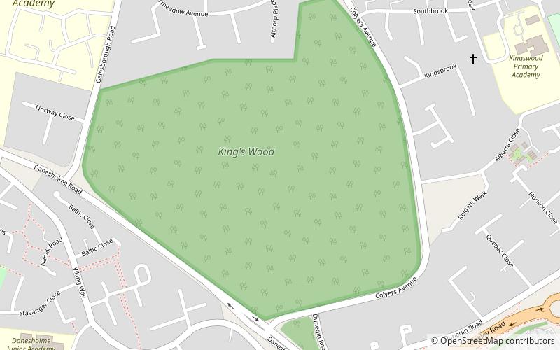
King's Wood is a 31.7 hectare Local Nature Reserve in Corby in Northamptonshire. It managed by the Wildlife Trust for Bedfordshire, Cambridgeshire and Northamptonshire. ()
Elevation: 423 ft a.s.l.Coordinates: 52°28'31"N, 0°43'35"W
Day trips
King's Wood – popular in the area (distance from the attraction)
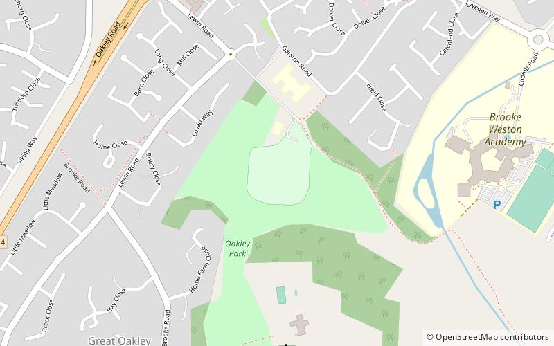
Nearby attractions include: International Swimming Pool, Corby Cube, St Michael's Church, Great Oakley Cricket Club Ground.
Frequently Asked Questions (FAQ)
How to get to King's Wood by public transport?
The nearest stations to King's Wood:
Bus
Bus
- Corby, George Street • Lines: X4 (32 min walk)


