Currie, Edinburgh
Map

Map

Facts and practical information
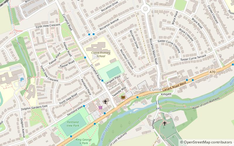
Currie is a village on the outskirts of Edinburgh, Scotland, situated 7 miles south west of the city centre. Formerly within the County of Midlothian, it now falls within the jurisdiction of the City of Edinburgh Council. It is situated between Juniper Green to the northeast and Balerno to the southwest. It gives its name to a civil parish. ()
Address
CurrieEdinburgh
ContactAdd
Social media
Add
Day trips
Currie – popular in the area (distance from the attraction)
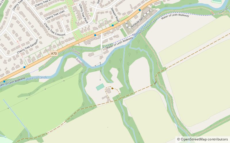
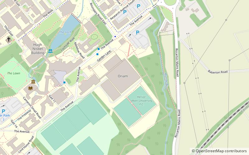
Nearby attractions include: Water of Leith Walkway, Lennox Tower, Oriam, Wester Hailes.
Frequently Asked Questions (FAQ)
How to get to Currie by public transport?
The nearest stations to Currie:
Bus
Train
Bus
- Currie Library • Lines: 44 (3 min walk)
- Pentland View Court • Lines: 44 (4 min walk)
Train
- Curriehill (10 min walk)


