Water of Leith Walkway, Edinburgh

Gallery (5)
Map

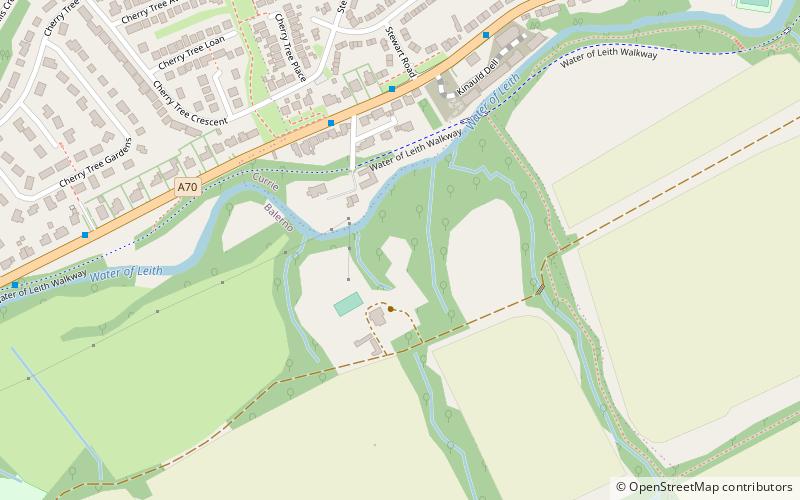
Map

Gallery
Facts and practical information
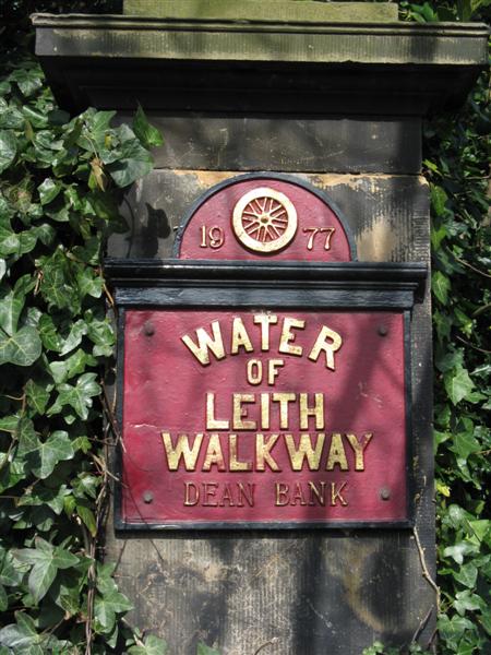
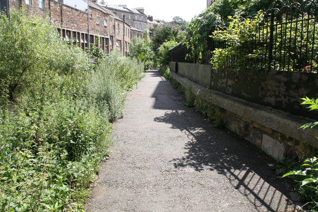
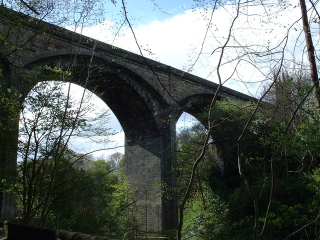
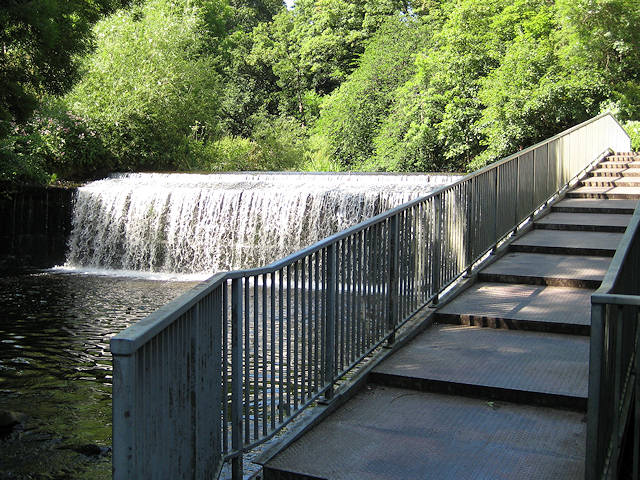
The Water of Leith Walkway is a public footpath and cycleway that runs alongside the small river of the same name through Edinburgh, Scotland, from Balerno to Leith. ()
Coordinates: 55°53'10"N, 3°20'23"W
Getting there by public transportation
Public transportation stops near this location
- Bus
- Train
 Bus
Bus
- Calculate routeBalerno High School 1 min walk
- Calculate routeBavelaw Gardens 4 min walk
- Calculate routeLanark Road West 5 min walk
- Calculate routeLovedale Road 5 min walk
- Calculate routeCurriehill 34 min walk
Day trips


Frequently Asked Questions (FAQ)
How to get to Water of Leith Walkway by public transport?
The nearest stations to Water of Leith Walkway:
Bus
Train
Bus
- Balerno High School • Lines: 44 (1 min walk)
- Bavelaw Gardens • Lines: 44 (4 min walk)
Train
- Curriehill (34 min walk)