Albert Bridge, Slough
Map
Map

Facts and practical information
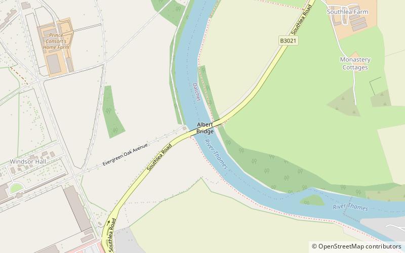
Albert Bridge is a road bridge in England running north–south and carrying the B3021 between Datchet and Old Windsor. It crosses the River Thames on the reach between Old Windsor Lock and Romney Lock. It was rebuilt in brick in 1927 to replace a cast-iron bridge built in 1850–51. ()
Opened: 1927 (99 years ago)Height: 18 ftCoordinates: 51°28'17"N, 0°35'3"W
Address
Slough
ContactAdd
Social media
Add
Day trips
Albert Bridge – popular in the area (distance from the attraction)
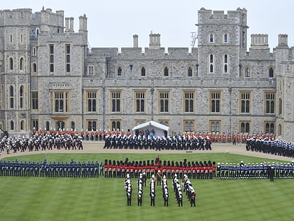
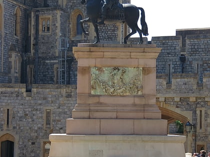
Nearby attractions include: Windsor Castle, St George's Chapel, St John the Baptist Church, Equestrian statue of Charles II.
Frequently Asked Questions (FAQ)
Which popular attractions are close to Albert Bridge?
Nearby attractions include Frogmore House, Slough (13 min walk), Frogmore, Slough (15 min walk), Old Windsor Memorial Hall, Old Windsor (15 min walk), Duchess of Kent's Mausoleum, Windsor and Eton (15 min walk).
How to get to Albert Bridge by public transport?
The nearest stations to Albert Bridge:
Bus
Train
Bus
- Clayhall Lane roundabout • Lines: 8, 8A (12 min walk)
- Toby Carvery • Lines: 8, 8A (16 min walk)
Train
- Datchet (22 min walk)
- Sunnymeads (28 min walk)

