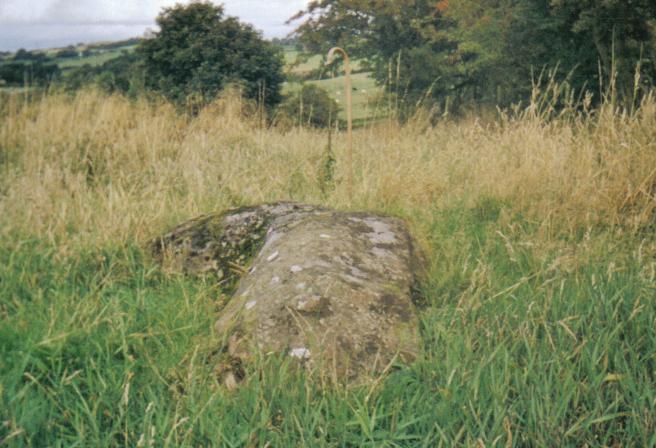
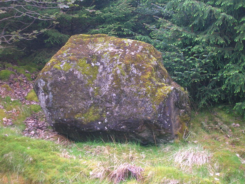
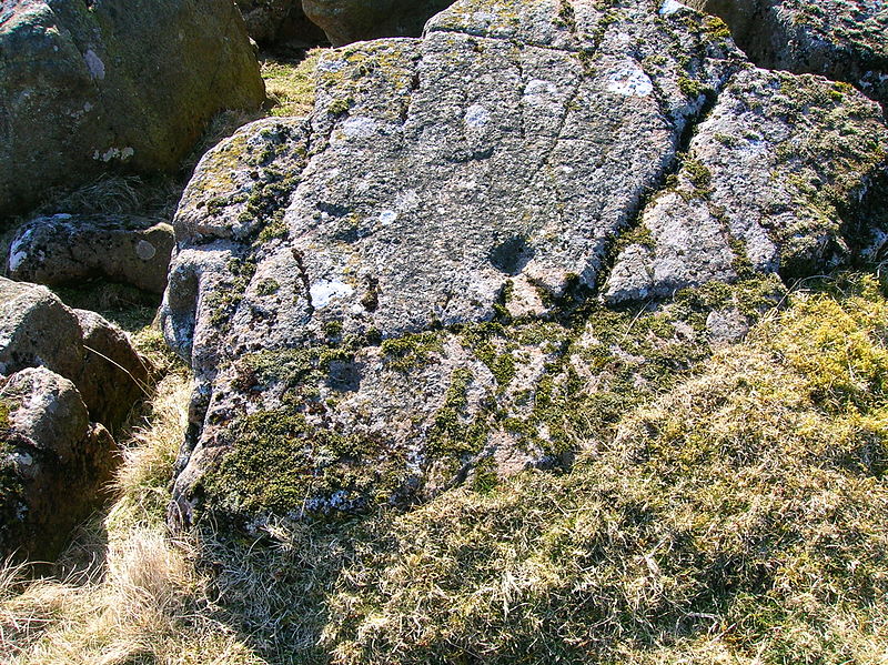
Carlin stone
#5519 among destinations in the United Kingdom
![blank map](https://tzassets.b-cdn.net/static/img/blank-map-colors-sm.png)
![Carlin stone](https://tzmedia.b-cdn.net/media/images/gb/place/gallery/medium/166c0f0677733f2cefc988a1e90fffa1.jpg)
Facts and practical information
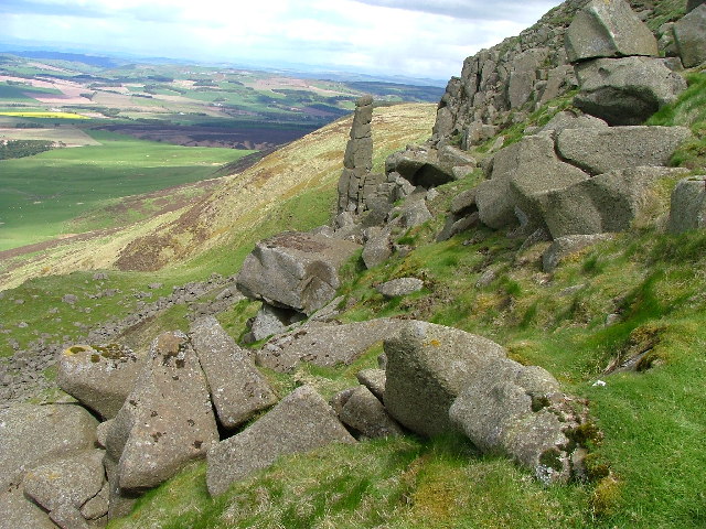
Carlin Stone or Carline Stane is the name given to a number of prehistoric standing stones and natural stone or landscape features in Scotland. The significance of the name is unclear, other than its association with old hags, witches, and the legends of the Cailleach. ()
ScotlandUnited Kingdom
Carlin stone plan & book
Unleash the traveler in you — discover the cheapest flight deals, find the perfect hotel or hostel nearby, and search for the best car rental prices. Travel at your own pace to discover new places and enjoy your journey.
Carlin stone – popular in the area (distance from the attraction)
Nearby attractions include: Lands of Lainshaw, Chapeltoun, Blae Loch, Caldwell.
2.7 miSForts and castlesLands of Lainshaw, Stewarton
68 min walk • The Lands of Lainshaw lie in Strathannick and were part of the Lordship of Stewarton, in East Ayrshire, Scotland. Lainshaw House is a category B listed mansion, lying in a prominent position above the Annick Water and its holm in the Parish of Stewarton, Scotland.
3.5 miSArchaeological siteChapeltoun
90 min walk • Chapeltoun is an estate on the banks of the Annick Water in East Ayrshire, Scotland. This is a rural area famous for its milk and cheese production and the Ayrshire or Dunlop breed of cattle.
2.6 miNWNature, Natural attraction, LakeBlae Loch
67 min walk • The Blae Loch is a small freshwater loch situated in a hollow in a low-lying area beneath Blaelochhead Hill in the Parish of Beith, North Ayrshire, Scotland.
2.9 miNForts and castlesCaldwell
74 min walk • Caldwell is a mansion and old estate with the remains of a castle nearby. These lands lie close to the Lugton Water and the villages of Uplawmoor in East Renfrewshire and Lugton in East Ayrshire.
1.1 miSWVillage, Forts and castlesDunlop
30 min walk • Dunlop is a village and parish in East Ayrshire, Scotland. It lies on the A735, north-east of Stewarton, seven miles from Kilmarnock. The road runs on to Lugton and the B706 enters the village from Beith and Burnhouse.
2.7 miSForts and castlesLainshaw Castle, Stewarton
69 min walk • Lainshaw Castle was a 15th century castle about 1.0 mile south-west of Stewarton, East Ayrshire, Scotland, to the north of Annick Water. The castle was incorporated into Lainshaw House over the course of the 17th and 18th centuries.
3.7 miSEForts and castlesPolkelly Castle
94 min walk • Polkelly Castle, also Pokelly, was an ancient castle located near Fenwick, at NS 4568 4524, in the medieval free Barony of Polkelly, lying north of Kilmarnock, Parish of Fenwick, East Ayrshire, Scotland.
1.8 miSForts and castles, Vernacular architectureBarony and Castle of Corsehill, Stewarton
47 min walk • The old Barony and castle of Corsehill lay within the feudal Baillerie of Cunninghame, near Stewarton, now East Ayrshire, Scotland.
1.8 miWForts and castlesBarony of Aiket
47 min walk • The Barony of Aiket with its castle, lay within the old feudal bailiary of Cunninghame. The barony lands equate to the extant Parish of Dunlop, East Ayrshire, Scotland.
4.5 miNForts and castlesAuchenbathie Tower
115 min walk • Auchenbathie, Auchinbathie Tower or rarely Barcraigs Tower is a ruined fortification, a tower house, once held by the Wallace Clan of Elderslie, situated in Renfrewshire, Parish of Lochwinnoch, Scotland.
4.5 miNWForts and castlesHill of Beith Castle, Beith
115 min walk • The old Barony and castle, fortalice, or tower house of Hill of Beith lay in the feudal Regality of Kilwinning, within the Baillerie of Cunninghame, and the Sherrifdom of Ayr, now the Parish of Beith, North Ayrshire, Scotland.