Fremington Edge, Yorkshire Dales National Park
Map

Gallery

Facts and practical information
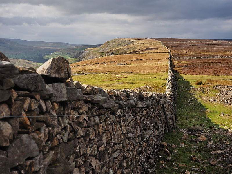
Fremington Edge is a 3-mile long wall of crags and scree slopes that is situated to the north of the village of Reeth in Swaledale in the Yorkshire Dales National Park, England. Fremington Edge forms the south-eastern edge of Arkengarthdale, extending to the point where the dale meets Swaledale. Throughout its full length the Edge stays above the height of 1,300 feet and reaches a highest point of 1,552 feet at the northern end of the escarpment. ()
Coordinates: 54°24'32"N, 1°56'57"W
Address
Yorkshire Dales National Park
ContactAdd
Social media
Add
Day trips
Fremington Edge – popular in the area (distance from the attraction)
Nearby attractions include: Ellerton Priory, Swaledale Museum, Marrick Priory, Arkengarthdale.


