Hoove, Yorkshire Dales National Park
Map

Map

Facts and practical information
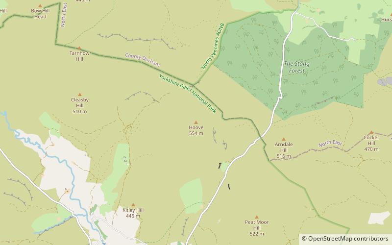
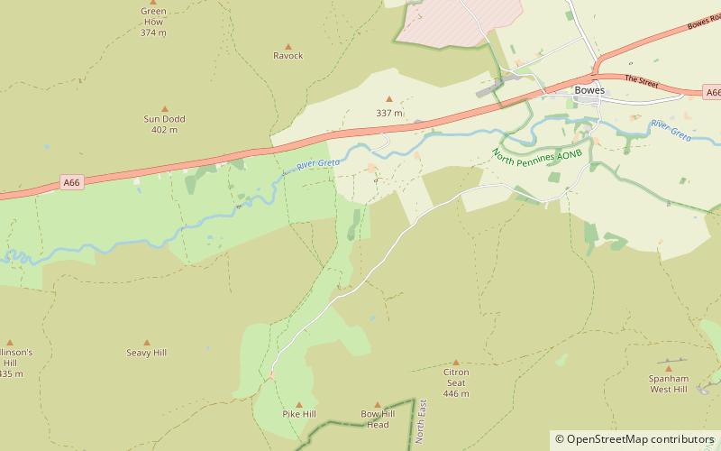
Hoove is a hill in the northern Yorkshire Dales in North Yorkshire, England, near the town of Barnard Castle in County Durham. Its elevation is 554 metres, and it is classified as a Marilyn. ()
Elevation: 1818 ftProminence: 587 ftCoordinates: 54°27'33"N, 1°59'44"W
Address
Yorkshire Dales National Park
ContactAdd
Social media
Add
Day trips
Hoove – popular in the area (distance from the attraction)
Nearby attractions include: Sleightholme Beck Gorge – The Troughs, Egglestone Abbey, Swaledale Museum, God's Bridge.


