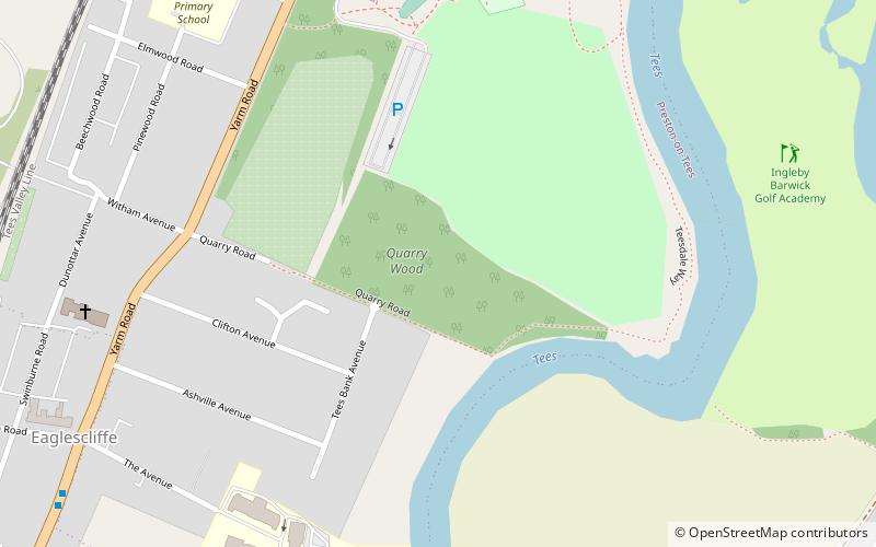
Quarry Wood, Stockton-on-Tees
Map
Facts and practical information
Quarry Wood is a small wooded area in Preston Park, Preston-on-Tees in County Durham, England. It was declared a Local Nature Reserve in 2004 by Stockton Borough Council. ()
Elevation: 72 ft a.s.l.Coordinates: 54°31'53"N, 1°20'25"W
Getting there by public transportation
Public transportation stops near this location
- Bus
- Train
 Bus
Bus
- Calculate routeEaglescliffe 11 min walk
- Calculate routeTees Small Gauge Railway 12 min walk
- Calculate routeAllens West 26 min walk
- Calculate routeBarkston Avenue 30 min walk
Day trips


Frequently Asked Questions (FAQ)
Which popular attractions are close to Quarry Wood?
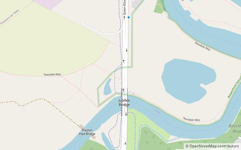
Nearby attractions include Preston Park, Stockton-on-Tees (8 min walk), Preston Hall, Stockton-on-Tees (9 min walk), Preston Pipe Bridge, Stockton-on-Tees (19 min walk), Jubilee Bridge, Stockton-on-Tees (21 min walk).
How to get to Quarry Wood by public transport?
The nearest stations to Quarry Wood:
Train
Bus
Train
- Eaglescliffe (11 min walk)
- Tees Small Gauge Railway (12 min walk)
Bus
- Barkston Avenue • Lines: 15 (30 min walk)