Eaglescliffe Golf Club, Eaglescliffe

Gallery (1)
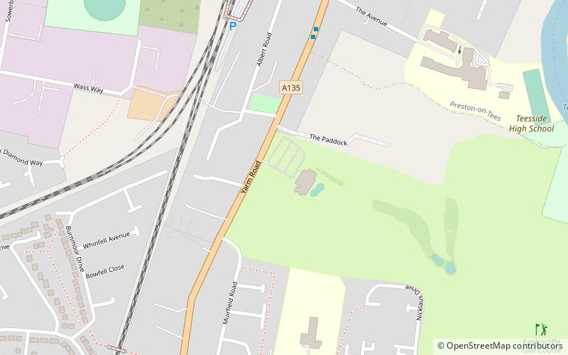
Map
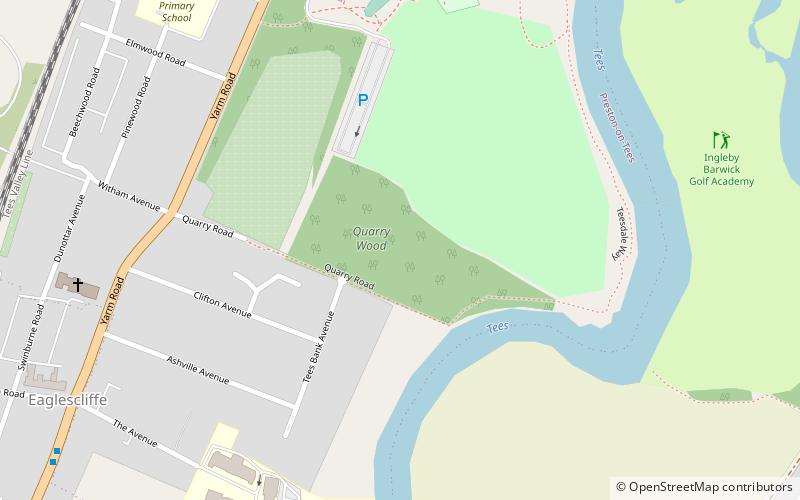
Map
Facts and practical information
Eaglescliffe Golf Club (address: Yarm Road) is a place located in Eaglescliffe (England kingdom) and belongs to the category of outdoor activities, golf.
It is situated at an altitude of 85 feet, and its geographical coordinates are 54°31'35"N latitude and 1°20'55"W longitude.
Among other places and attractions worth visiting in the area are: Quarry Wood, Stockton-on-Tees (park, 13 min walk), Preston Park, Stockton-on-Tees (park, 20 min walk), Preston Hall, Stockton-on-Tees (museum, 21 min walk).
Coordinates: 54°31'35"N, 1°20'55"W
Day trips


Frequently Asked Questions (FAQ)
Which popular attractions are close to Eaglescliffe Golf Club?
Nearby attractions include Quarry Wood, Stockton-on-Tees (13 min walk), Preston Park, Stockton-on-Tees (20 min walk), Preston Hall, Stockton-on-Tees (21 min walk), St John the Baptist, Yarm (23 min walk).