Fintry Hills
Map

Map

Facts and practical information
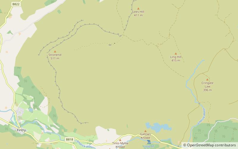
The Fintry Hills form the western end of a range of hills which stretch west from the city of Stirling, Scotland. They culminate in the 511-metre peak of Stronend, which overlooks Strathendrick and the village of Fintry. ()
Coordinates: 56°4'16"N, 4°10'1"W
Location
Scotland
ContactAdd
Social media
Add
Day trips
Fintry Hills – popular in the area (distance from the attraction)
Nearby attractions include: Loup of Fintry, Culcreuch Castle, Campsie Fells, Peggie's Spout.


