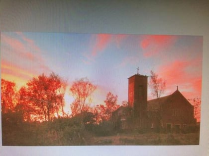
Peggie's Spout, Kilsyth
#3 among attractions in Kilsyth

Facts and practical information
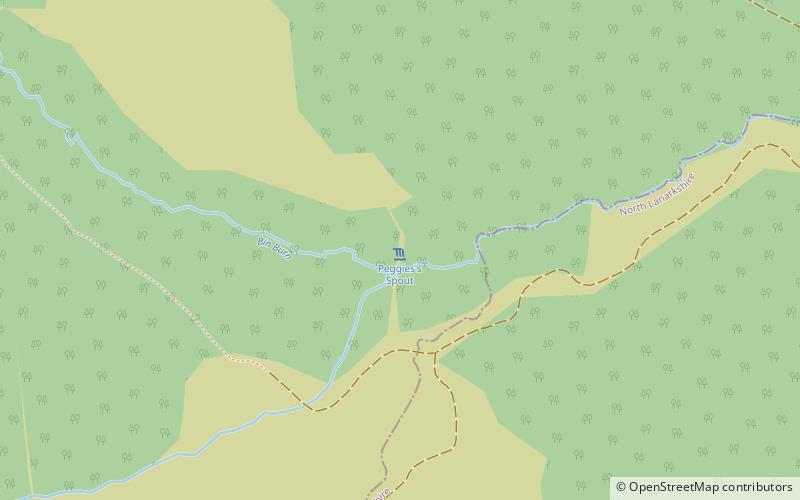
Peggie's Spout is a waterfall of Scotland. ()
Kilsyth United Kingdom
Peggie's Spout – popular in the area (distance from the attraction)
Nearby attractions include: Dullatur Golf Club, Loup of Fintry, Bar Hill Fort, Culcreuch Castle.
 Outdoor activities, Golf
Dullatur Golf Club, Cumbernauld
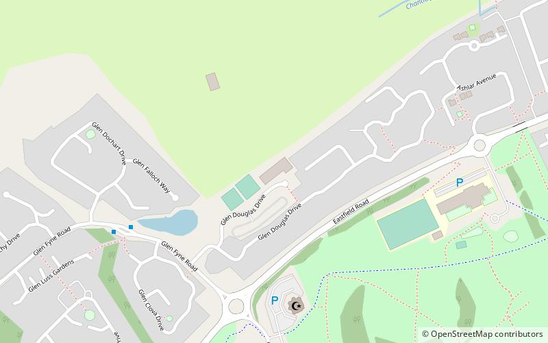
142 min walk • Dullatur Golf Club is a notable golf course located in Dullatur, near Cumbernauld, in Scotland. Notable members include Barry who played for 5 years on the Catalina Cup Tour in Australia from 2012 until 2017.
 Natural attraction, Park, Waterfall
Loup of Fintry, Kippen
69 min walk • Loup of Fintry is a notable waterfall on the River Endrick around 2 miles to the east of Fintry in Scotland and 17 miles from Stirling, 10 miles from Denny. The total height of the waterfalls is 28.6 m Lowp or "Loup" means leap in Scots.
 Archaeological site
Bar Hill Fort
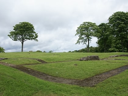
108 min walk • Bar Hill Fort was a Roman fort on the Antonine Wall in Scotland. It was built around the year 142 A.D. Older maps and documents sometimes spell the name as Barr Hill. A computer generated fly around for the site has been produced. Lidar scans have been done along the length of the wall including Bar Hill.
 Forts and castles
Culcreuch Castle
127 min walk • Culcreuch Castle is a Scottish castle close to the village of Fintry, near Loch Lomond. It had been the home of the Barons of Culcreuch since 1699. In the 1980s the castle was converted into a hotel, which it was run as until early 2020 when it was closed to the public.
 Hiking, Hiking trail
Strathkelvin Railway Path, Kirkintilloch
119 min walk • Strathkelvin Railway Path is rail trail following the route of several dismantled railway lines extending from Gartcosh to Strathblane.
 Forts and castles
Croy Hill
124 min walk • Croy Hill was a Roman fort, fortlet, and probable temporary camp on the Antonine Wall, near Croy, to the north east of the village in Scotland. Two communication platforms known as ‘expansions’ can be seen to the west of the fortlet. Alexander Park excavated the site in 1890-1891.
 Park
ParkColzium, Kilsyth
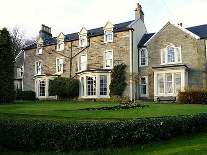
97 min walk • Colzium House and Estate is about 500 metres to the north-east of Kilsyth, North Lanarkshire, Scotland. The present house dates from 1783 and was extended and modernised in 1861. The name may mean "defile leap".
3.9 miSE Ruins of an ancient Roman fortificationAntonine Wall, Kilsyth
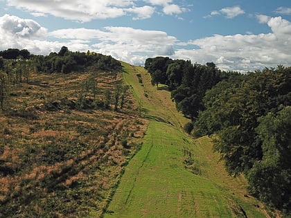
99 min walk • The Antonine Wall, known to the Romans as Vallum Antonini, was a turf fortification on stone foundations, built by the Romans across what is now the Central Belt of Scotland, between the Firth of Forth and the Firth of Clyde.
 Aqueduct
Luggie Aqueduct, Kirkintilloch
134 min walk • The Luggie Aqueduct carries the Forth & Clyde Canal over the Luggie Water at Kirkintilloch, to the north of Glasgow.It is a Category A listed building.
 Nature, Natural attraction, Mountain
Meikle Bin
18 min walk • Meikle Bin is a peak in the Campsie Fells in Central Scotland. It is the second-highest of the group at 570 metres, and with its prominence of 270 m it is classified as a Marilyn.
