Belfast Jewish Community, Belfast
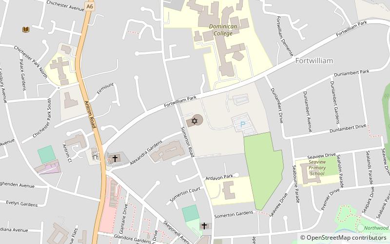
Map
Facts and practical information
The Belfast Jewish Community is the Jewish community in Belfast, Northern Ireland. Its Rabbi is the Rev David Kale. The community follows the Ashkenazi Orthodox ritual. Membership has fluctuated from 78 in 1900, approximately 1500 during World War II, about 375 after World War II, to 350 in 1945, 380 in 1949 and 200 in 1999. The congregation was fewer than 80 people as of January 2015. ()
Day trips


Frequently Asked Questions (FAQ)
Which popular attractions are close to Belfast Jewish Community?
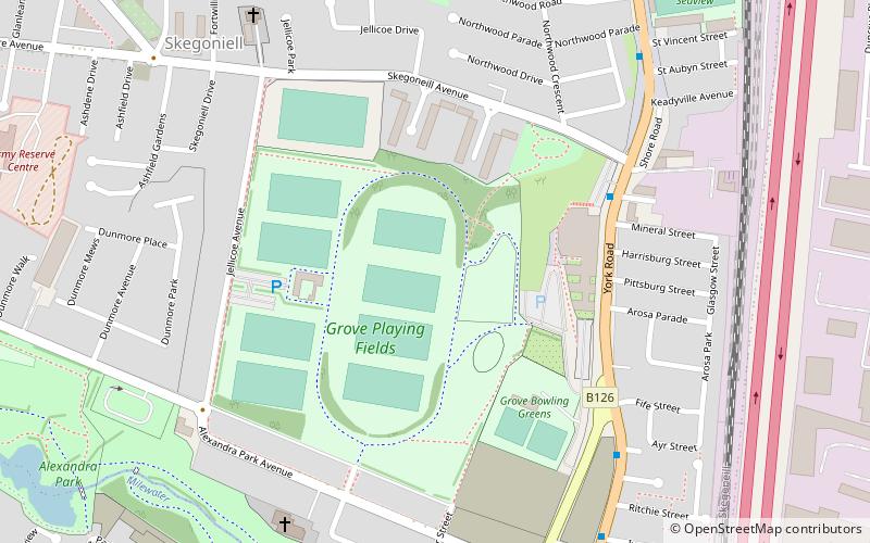
Nearby attractions include St Peter's Church, Belfast (12 min walk), Alexandra Park, Belfast (16 min walk), Solitude, Belfast (20 min walk).