St Peter's Church, Belfast
Map

Map

Facts and practical information
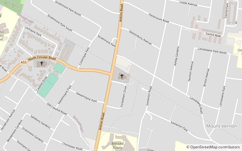
St Peter's Church is a Church of Ireland parish church in Belfast, Northern Ireland. The building is the centre of worship for the Anglican community based on or around the Antrim Road within the city limits. ()
Completed: 1900 (126 years ago)Coordinates: 54°38'3"N, 5°56'12"W
Day trips
St Peter's Church – popular in the area (distance from the attraction)
Nearby attractions include: Belfast Castle, Solitude, Cliftonville Golf Club, Cavehill.
Frequently Asked Questions (FAQ)
Which popular attractions are close to St Peter's Church?
Nearby attractions include Belfast Jewish Community, Belfast (12 min walk), Belfast Castle, Belfast (17 min walk), Whitewell Metropolitan Tabernacle, Belfast (21 min walk).


