Canal Walk, London


Facts and practical information
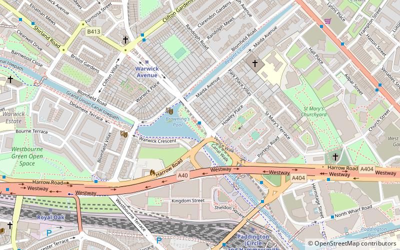
Canal Walk (address: Blomfield Road) is a place located in London (England kingdom) and belongs to the category of boat tours, tours, outdoor activities.
It is situated at an altitude of 112 feet, and its geographical coordinates are 51°31'17"N latitude and 0°10'52"W longitude.
Planning a visit to this place, one can easily and conveniently get there by public transportation. Canal Walk is a short distance from the following public transport stations: Blomfield Road (bus, 1 min walk), Warwick Avenue (metro, 4 min walk), London Paddington (train, 9 min walk).
Among other places and attractions worth visiting in the area are: Canal Cafe Theatre (theater, 4 min walk), Warwick Avenue (street, 5 min walk), Westbourne Bridge (bridge, 6 min walk).
Canal Walk – popular in the area (distance from the attraction)
Nearby attractions include: Lord's, Whiteleys, Lord's Tavern, Canal Cafe Theatre.
Frequently Asked Questions (FAQ)
When is Canal Walk open?
- Monday 11 am - 4 pm
- Tuesday 11 am - 4 pm
- Wednesday 11 am - 4 pm
- Thursday 11 am - 4 pm
- Friday 11 am - 4 pm
- Saturday 11 am - 4 pm
- Sunday 9 am - 4 pm
Which popular attractions are close to Canal Walk?
How to get to Canal Walk by public transport?
Bus
- Blomfield Road • Lines: 46 (1 min walk)
- Bishops Bridge Road / Little Venice • Lines: 18, N18 (4 min walk)
Metro
- Warwick Avenue • Lines: Bakerloo (4 min walk)
- Paddington • Lines: Bakerloo, Circle, District (9 min walk)
Train
- London Paddington (9 min walk)
- London Marylebone (20 min walk)

 Tube
Tube


