Borough Hill
Map

Map

Facts and practical information
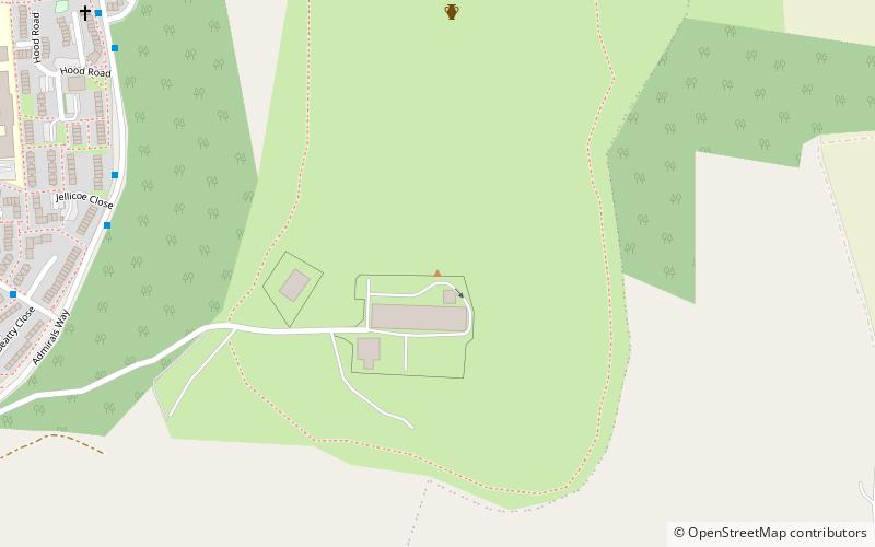
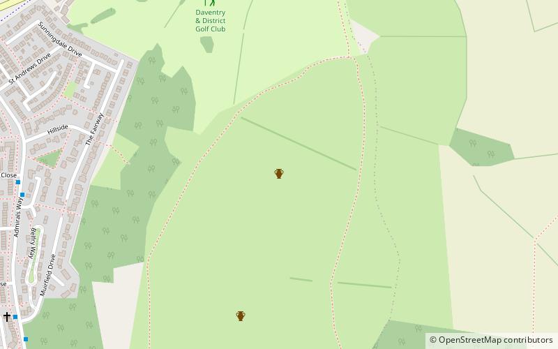
Borough Hill is a hill to the east of the town of Daventry in the English county of Northamptonshire. It is over 200 metres above sea level and dominates the surrounding area. ()
Elevation: 653 ftCoordinates: 52°15'17"N, 1°8'23"W
Location
England
ContactAdd
Social media
Add
Day trips
Borough Hill – popular in the area (distance from the attraction)
Nearby attractions include: Daventry Country Park, Daventry Museum, Borough Hill Roman villa, Newnham Hill.


