Blackfriars, Stirling
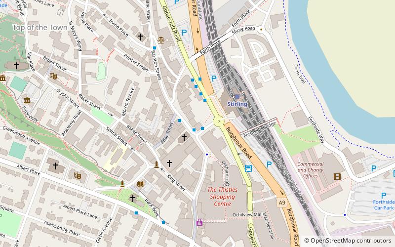
Map
Facts and practical information
The Church of the Friars Preachers of St Laurence, Stirling, commonly called Blackfriars, was a mendicant friary of the Dominican Order founded in the 13th century at Stirling, Scotland. ()
Coordinates: 56°7'10"N, 3°56'12"W
Address
Stirling
ContactAdd
Social media
Add
Getting there by public transportation
Public transportation stops near this location
- Bus
- Train
 Bus
Bus
- Calculate routeStirling 3 min walk
- Calculate routeStirling Bus Station 3 min walk
- Calculate routeAllan Park South Church 5 min walk
Day trips


Frequently Asked Questions (FAQ)
Which popular attractions are close to Blackfriars?
Nearby attractions include Forthside Bridge, Stirling (3 min walk), Statue of Henry Campbell-Bannerman, Stirling (5 min walk), Albert Halls, Stirling (6 min walk), Tolbooth Stirling, Stirling (7 min walk).
How to get to Blackfriars by public transport?
The nearest stations to Blackfriars:
Train
Bus
Train
- Stirling (3 min walk)
Bus
- Stirling Bus Station • Lines: 24, B12, C11, X39 (3 min walk)
- Allan Park South Church • Lines: B12 (5 min walk)