Bridge Street, Cambridge
Map

Gallery

Facts and practical information
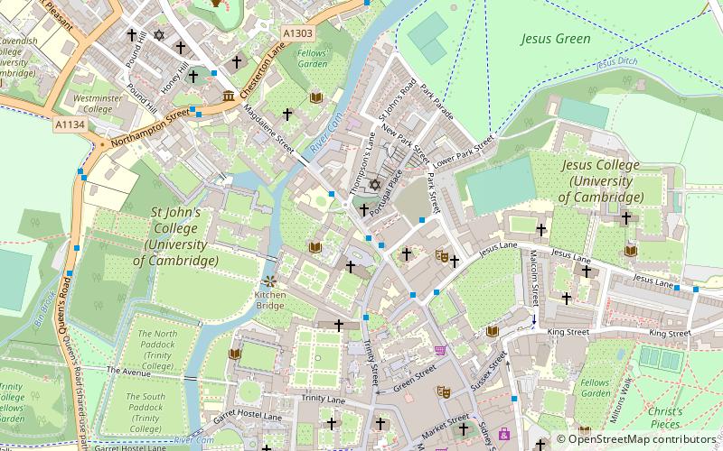
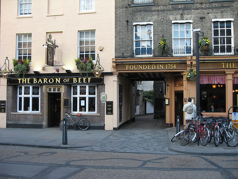
Bridge Street is a historic street in the north of central Cambridge, England. It runs between Magdalene Street at the junction with Thompson's Lane to the northwest and Sidney Street at the junction with Jesus Lane to the southeast. Bridge Street used to continue over the Great Bridge on the River Cam, hence the name, but this part is now known as Magdalene Street after Magdalene College, which fronts onto the street. ()
Coordinates: 52°12'32"N, 0°7'4"E
Address
MarketCambridge
ContactAdd
Social media
Add
Day trips
Bridge Street – popular in the area (distance from the attraction)
Nearby attractions include: Sidney Street, Green Street, Sussex Street, University Pitt Club.
Frequently Asked Questions (FAQ)
Which popular attractions are close to Bridge Street?
Nearby attractions include St Clement's Church, Cambridge (1 min walk), Go Punting Cambridge, Cambridge (2 min walk), St John's College Old Library, Cambridge (2 min walk), Holy Sepulchre, Cambridge (2 min walk).
How to get to Bridge Street by public transport?
The nearest stations to Bridge Street:
Bus
Train
Bus
- Bridge Street • Lines: 14, 77, Citi 2, Citi 5, Citi 6 (2 min walk)
- Castle Street • Lines: 14, 77, Citi 4 (6 min walk)
Train
- Cambridge (34 min walk)


