British Muslim Heritage Centre, Manchester
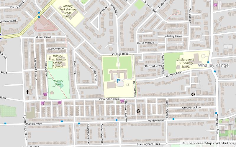
Map

Gallery

Facts and practical information
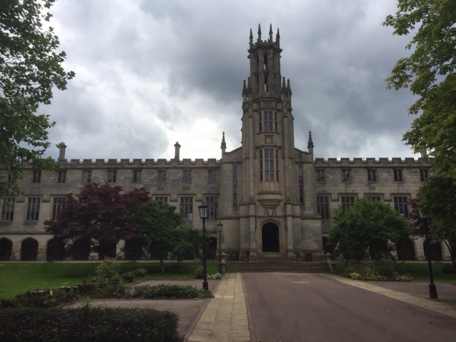
The British Muslim Heritage Centre, formerly the GMB National College, College Road, Whalley Range, Manchester, is an early Gothic Revival building. The centre was designated a Grade II* listed building on 3 October 1974. ()
Coordinates: 53°26'56"N, 2°15'52"W
Day trips
British Muslim Heritage Centre – popular in the area (distance from the attraction)
Nearby attractions include: Old Trafford, Old Trafford Cricket Ground, Manchester Museum, Christ Church.
Frequently Asked Questions (FAQ)
Which popular attractions are close to British Muslim Heritage Centre?
Nearby attractions include Whalley Range, Manchester (8 min walk), Alexandra Park, Manchester (17 min walk), Firswood, Manchester (17 min walk), Chorlton-cum-Hardy, Manchester (18 min walk).
How to get to British Muslim Heritage Centre by public transport?
The nearest stations to British Muslim Heritage Centre:
Bus
Tram
Bus
- Kings Road/St John's Road • Lines: 15 (13 min walk)
Tram
- Firswood • Lines: Airp, Dean, EDid, Roch, Shaw, Vict (15 min walk)
- Chorlton • Lines: Airp, Dean, EDid, Roch, Shaw, Vict (15 min walk)

 Metrolink
 Metrolink / Rail


